
England
Descripción
Mapa


Senderos en estado
- A Dales Highway
- Allerdale RambleGPX
- Beacon WayGPX
- Borders Abbeys WayGPX
- Calderdale WayGPX
- Cheshire Ring Canal WalkGPX
- Cleveland WayGPX
- Coast to Coast WalkGPX
- Coleridge WayGPX
- Copper Trail
- Cotswold WayGPX
- Cumbria WayGPX
- Dales WayGPX
- Dartmoor WayGPX
- Downs LinkGPX
- E2GPX
- E8GPX
- Essex WayGPX
- Fen Rivers WayGPX
- Geopark WayGPX
- Greensand Ridge WalkGPX
- Greensand WayGPX
- Guernsey Coastal Path
- Hadrian's WallGPX
- Heart of England WayGPX
- Hereward WayGPX
- High Weald Landscape TrailGPX
- Icknield WayGPX
- Isle of Jersey Coastal Path
- Isle of Man Coastal PathGPX
- Isle of Wight Coastal PathGPX
- Lady Anne's WayGPX
- Lands End to John o'GroatsGPX
- Lea Valley WalkGPX
- Leland TrailGPX
- Liberty TrailGPX
- Limestone LinkGPX
- Limestone WayGPX
- Mendip WayGPX
- Minster WayGPX
- Monarch's WayGPX
- Nene WayGPX
- North Buckinghamshire WayGPX
- North Downs WayGPX
- North Sea TrailGPX
- Northumberland Coast PathGPX
- Offa's Dyke PathGPX
- Oxford Canal WalkGPX
- Oxfordshire WayGPX
- Peddars Way and Norfolk Coast PathGPX
- Pendle WayGPX
- Pennine BridlewayGPX
- Pennine WayGPX
- Quantock GreenwayGPX
- Reivers Way
- Ribble WayGPX
- RidgewayGPX
- Robin Hood WayGPX
- Saint Cuthbert's WayGPX
- Saint Oswald's Way
- Saints WayGPX
- Saxon Shore WayGPX
- Severn WayGPX
- Shakespeare's WayGPX
- Shropshire WayGPX
- Solent WayGPX
- South Downs WayGPX
- South West Coast PathGPX
- Staffordshire WayGPX
- Stour Valley PathGPX
- Suffolk Coast and Heaths Path
- Tamar Valley Discovery TrailGPX
- Tarka TrailGPX
- Teesdale WayGPX
- Thames PathGPX
- Trans Pennine TrailGPX
- Two Moors WayGPX
- Via FrancigenaGPX
- Viking WayGPX
- Wayfarer's WalkGPX
- WealdwayGPX
- Weavers WayGPX
- Windermere WayGPX
- Worcestershire WayGPX
- Wychavon WayGPX
- Yorkshire Wolds WayGPX
Enlaces
Datos
Informes
Guías y mapas
Hospedaje
Organizaciones
Operadores turísticos
GPS
Otro
Libros

Stanfords
United Kingdom
United Kingdom
- Coastlines: The Story of Our Shore
- From one of the most engaging and widely admired of the new generation of nature writers, here is a portrait of the British coastline from the Giant`s Causeway to Land`s End.Told through a series of walks beside the sea, this is the story of the most beautiful 742 miles of coastline in England, Wales and Northern Ireland-its rocks, plants and... Leer más
Stanfords
United Kingdom
United Kingdom
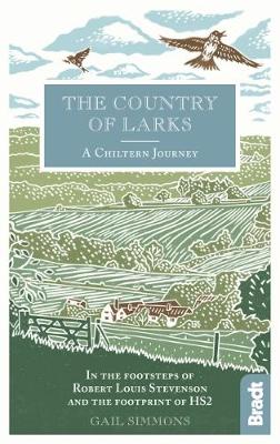
- Country of Larks: A Chiltern Journey: In the footsteps of Robert Louis Stevenson and the footprint of HS2
- Shortlisted for the 2020 Edward Stanford Travel Writing Award`s Lonely Planet Debut Travel Writer of the YearTravel writer and journalist Gail Simmons follows in the footsteps of Robert Louis Stevenson as she walks from High Wycombe in Buckinghamshire to Tring in Hertfordshire via Great Missenden and Wendover, tracing not only the changes in... Leer más

Stanfords
United Kingdom
United Kingdom
- Colors of Fall Road Trip Guide - 25 Autumn Tours in New England
- This guide details 25 of the best scenic tours during fall foliage season in New England. Trips vary from short drives on the coast to all-day excursions in the region`s mountains and forests. Detailed maps and itineraries complement trip descriptions that tell you what you`ll find along the route. In addition, sidebars suggest short walks and... Leer más

Stanfords
United Kingdom
United Kingdom
- South Downs - 20 Country Walks For All The Family
- Batsford`s Walking Guides is an exciting new gift series of walking books, aimed at the weekend, family walker. These small-format, portable, hardback books have an attractive retro feel, with nostalgic line drawings and hand-drawn maps. Each of the 20 walks have been carefully selected to appeal to family walkers, most are circular and none... Leer más

Stanfords
United Kingdom
United Kingdom
- River Thames & Thames Path Heron Map
- This tourist map of the River Thames and Thames Path covers from its source, just outside Kemble in Gloucestershire, to the Thames Barrier at 1:55,000, with detailed town plans of Lechlade, Oxford, Abingdon, Wallingford, Henley-on-Thames, central Reading, Windsor and Eton, Marlow and Kingston upon Thames at 1:12,500. The Thames and Severn Canal... Leer más

Stanfords
United Kingdom
United Kingdom
- Pilgrimage: The Great Pilgrim Routes of Britain and Europe
- Shortlisted for a 2018 Edward Stanford Travel Writing Award.Ten historic pilgrim routes of Western Europe, inspiration for today`s long distance walker. Pilgrimage in Europe is thriving on a massive scale. In 1990 the cathedral at Santiago de Compostela recorded less than 5000 pilgrims: today that figure is at least 200,000 a year. Author Derry... Leer más

Stanfords
United Kingdom
United Kingdom
- A Journey Through South-East England: Lewes to Woolwich
- A Journey Through South-East England: Lewes to Woolwich follows on from Brian`s previous journey through South-East England from Broadstairs to Lewes. This journey of around 100 miles, being part two of a mammoth trek through Kent and East Sussex, was also achieved just before his 70th birthday. In this book, Brian shares his experiences of... Leer más

Stanfords
United Kingdom
United Kingdom
- Walks Along The West Jurassic Coast
- From the Publisher of the highly acclaimed Jurassic Coast Official Guide, Coastal Publishing Limited is a fast growing publisher with an expanding list of books of regional interest and national appeal. Walks Along the East Jurassic Coast and its companion Walks Along the West Jurassic Coast Are the first two books in a series of 11 walking... Leer más

Stanfords
United Kingdom
United Kingdom
- DK Eyewitness New England
- Discover New England - a region synonymous with fall foliage, seafood and historic sitesWhether you want to explore the rugged natural beauty of the Appalachian Mountains, follow the fascinating Freedom Trail through Boston, or indulge in fresh lobster from the coast of Cape Cod, your DK Eyewitness travel guide makes sure you experience all New... Leer más
Stanfords
United Kingdom
2019
United Kingdom
2019
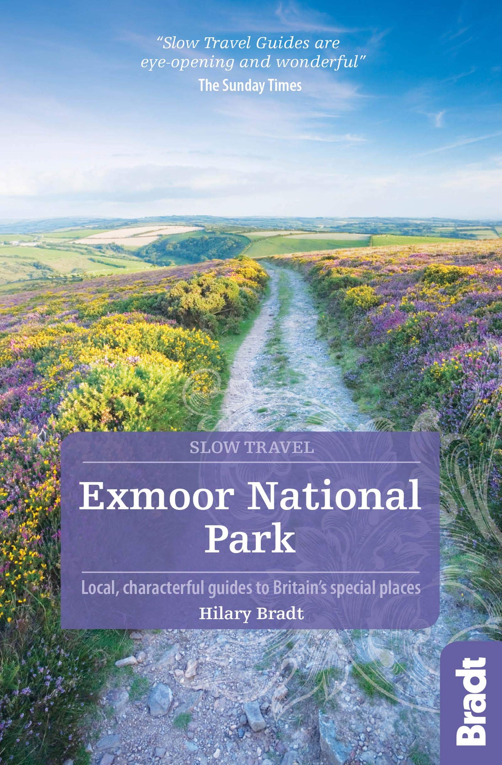
- Exmoor National Park (Slow Travel) Bradt Guide
- This new title in Bradt`s distinctive series of Slow travel guides to regions of Britain is the only general guide to focus exclusively on Exmoor, covering all of the national park plus towns and villages just outside the boundary. Written by expert resident author Hilary Bradt, coast and moorland, hiking, wildlife and birdwatching are all... Leer más

Stanfords
United Kingdom
2020
United Kingdom
2020
- Hadrian`s Wall Path
- Trailblazer British Walking Guide, two-way edition with routes re-walked from Bowness-on-Solway to Wallsend (Newcastle) and Wallsend (Newcastle) to Bowness-on-Solway. All-in-one guide to walking Hadrian`s Wall Path National Trail. Hadrian`s Wall Path, 84 miles from end to end, follows the course of northern Europe`s largest surviving Roman... Leer más

Stanfords
United Kingdom
2021
United Kingdom
2021
- The Rough Guide to Walks in & around London (Travel Guide with Free eBook)
- The Rough Guide to Walks in and Around LondonMake the most of your time on Earth with the ultimate travel guides.World-renowned `tell it like it is` guidebook available now with a free eBook Discover walks in and around London with this comprehensive, entertaining, `tell it like it is` Rough Guide, packed with our experts` honest and... Leer más

Stanfords
United Kingdom
United Kingdom
- The National Trust Book of the Countryside
- Explore the British countryside with the National Trust. No organisation knows more about the British countryside than the National Trust, the custodians of some of our most beautiful stretches of land and coastline. Drawing on their expertise, this stunningly illustrated book is a comprehensive guide to the country`s natural heritage. Part One... Leer más

Stanfords
United Kingdom
United Kingdom
- Guide to East Sussex Pub Walks
- Discover the beautiful countryside around East Sussex with this guide to some of the best walks in the area. These 20 circular routes vary in length from 21/2 to 7 miles and are centred on a broad variety of pubs - all recommended for their good food and warm welcome.Explore the region`s diverse landscape, with walks ranging from the flatlands... Leer más

Stanfords
United Kingdom
2022
United Kingdom
2022
- Rough Guide Staycations Oxford (Travel Guide with Free eBook)
- Rough Guides Staycations Oxford Make the most of your time on Earth with the ultimate travel guides.Inspirational and informative new pocket guide, with free eBook, making the most of holidaying at home in the UK through clearly laid-out walks and tours. Explore the best of Oxford with this unique travel guide, packed full of insider... Leer más
Mapas

Stanfords
United Kingdom
United Kingdom
- Yorkshire Dales for Cyclists
- Yorkshire Dales on a light, waterproof and tear-resistant, contoured and GPS compatible map at 1:100,000 from Harvey Map Services highlighting roads which are part of the various long-distance cycle trails across the Dales, plus highlighting for facilities and places of interest, enlargements for main built-up areas, etc.Topography is shown by... Leer más

Stanfords
United Kingdom
United Kingdom
- Swindon and Devizes 1898-1899
- Map No. 173, Swindon and Devizes 1898-1899, in the Cassini Historical Series of old Ordnance Survey mapping of England and Wales at 1:50,000 in a format designed to offer a convenient comparison with the present day coverage from the OS, and most locations in three different editions. Old historical maps have been combined so that the sheet... Leer más
Stanfords
United Kingdom
United Kingdom
- York and Selby 1840-1925 (3-map set)
- Map No. 105, York and Selby 1840-1925 (3-map set), in the Cassini Historical Series of old Ordnance Survey mapping of England and Wales at 1:50,000 in a format designed to offer a convenient comparison with the present day coverage from the OS, and most locations in three different editions. Old historical maps have been combined so that the... Leer más
Stanfords
United Kingdom
United Kingdom
- Swindon and Devizes 1817-1830
- Map No. 173, Swindon and Devizes 1817-1830, in the Cassini Historical Series of old Ordnance Survey mapping of England and Wales at 1:50,000 in a format designed to offer a convenient comparison with the present day coverage from the OS, and most locations in three different editions. Old historical maps have been combined so that the sheet... Leer más
Stanfords
United Kingdom
United Kingdom
- Lampeter & Llandovery / Llanbedr Pont Steffan a Llanymddyfri 1923 - 146
- Map No. 146, Lampeter and Llandovery / Llanbedr Pont Steffan a Llanymddyfri 1923, in the Cassini Historical Series of old Ordnance Survey mapping of England and Wales at 1:50,000 in a format designed to offer a convenient comparison with the present day coverage from the OS, and most locations in three different editions. Old historical maps... Leer más
Stanfords
United Kingdom
United Kingdom
- Isle of Man 1874
- Map No. 95, Isle of Man 1874, in the Cassini Historical Series of old Ordnance Survey mapping of England and Wales at 1:50,000 in a format designed to offer a convenient comparison with the present day coverage from the OS, and most locations in three different editions. Old historical maps have been combined so that the sheet lines correspond... Leer más
Stanfords
United Kingdom
United Kingdom
- Bristol and Bath 1899
- Map No. 172, Bristol and Bath 1899, in the Cassini Historical Series of old Ordnance Survey mapping of England and Wales at 1:50,000 in a format designed to offer a convenient comparison with the present day coverage from the OS, and most locations in three different editions. Old historical maps have been combined so that the sheet lines... Leer más

Stanfords
United Kingdom
United Kingdom
- Ely, Haddenham and Littleport Past and Present
- Ely, Haddenham and Littleport in the Cassini Past and Present map series which covers town and cities of England and Wales and offers a unique way of tracing their history and expansion by showing four different periods of their development using Ordnance Survey mapping from the mid-19th century, the late 19th century, the 1920s and the present... Leer más
Stanfords
United Kingdom
United Kingdom
- Grimsby 1824-1924 (3-map set)
- Map No. 113, Grimsby 1824-1924 (3-map set), in the Cassini Historical Series of old Ordnance Survey mapping of England and Wales at 1:50,000 in a format designed to offer a convenient comparison with the present day coverage from the OS, and most locations in three different editions. Old historical maps have been combined so that the sheet... Leer más
Stanfords
United Kingdom
United Kingdom
- Bristol and Bath 1817-1830
- Map No. 172, Bristol and Bath 1817-1830, in the Cassini Historical Series of old Ordnance Survey mapping of England and Wales at 1:50,000 in a format designed to offer a convenient comparison with the present day coverage from the OS, and most locations in three different editions. Old historical maps have been combined so that the sheet lines... Leer más
Stanfords
United Kingdom
United Kingdom
- Cardiff and Newport / Caerdydd & Casnewydd 1919-1922
- Map No. 171, Cardiff and Newport / Caerdydd & Casnewydd 1919-1922, in the Cassini Historical Series of old Ordnance Survey mapping of England and Wales at 1:50,000 in a format designed to offer a convenient comparison with the present day coverage from the OS, and most locations in three different editions. Old historical maps have been... Leer más
Stanfords
United Kingdom
United Kingdom
- Snowdon / Yr Wyddfa 1903-1910
- Map No. 115, Snowdon / Yr Wyddfa 1903-1910, in the Cassini Historical Series of old Ordnance Survey mapping of England and Wales at 1:50,000 in a format designed to offer a convenient comparison with the present day coverage from the OS, and most locations in three different editions. Old historical maps have been combined so that the sheet... Leer más
Stanfords
United Kingdom
United Kingdom
- Swansea and Gower / Abertawe a Gwyr 1830-1831
- Map No. 159, Swansea and Gower / Abertawe a Gwyr 1830-1831, in the Cassini Historical Series of old Ordnance Survey mapping of England and Wales at 1:50,000 in a format designed to offer a convenient comparison with the present day coverage from the OS, and most locations in three different editions. Old historical maps have been combined so... Leer más
Stanfords
United Kingdom
United Kingdom
- Northallerton and Ripon 1924-1925
- Map No. 99, Northallerton and Ripon 1924-1925, in the Cassini Historical Series of old Ordnance Survey mapping of England and Wales at 1:50,000 in a format designed to offer a convenient comparison with the present day coverage from the OS, and most locations in three different editions. Old historical maps have been combined so that the sheet... Leer más
Stanfords
United Kingdom
United Kingdom
- Plymouth and Saltash Past and Present
- Plymouth and Saltash in the Cassini Past and Present map series which covers town and cities of England and Wales and offers a unique way of tracing their history and expansion by showing four different periods of their development using Ordnance Survey mapping from the mid-19th century, the late 19th century, the 1920s and the present day.... Leer más