
Glens of Antrim
Descripción
Area in northeast Northern Ireland. The glens are seven in total, with sounding names. The hills and valleys, with their patchwork of hedges and fields, are good for walking.
Enlaces
Datos
Informes
Guías y mapas
Hospedaje
Organizaciones
Operadores turísticos
GPS
Otro
Libros

Stanfords
United Kingdom
2020
United Kingdom
2020
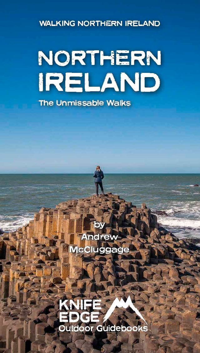
- Northern Ireland: The Unmissable Hikes
- Discover Northern Ireland`s wild mountains, epic cliffs, spectacular beaches and stunning moorland in this, the definitive guidebook for walking in Northern Ireland, It contains 35 epic walks, hand-picked by a Country Down local, including the Causeway Coast, the Glens of Antrim, the Mourne Mountains, the Sperrin Mountains and much more.* The... Leer más
- Also available from:
- The Book Depository, United Kingdom
- De Zwerver, Netherlands

De Zwerver
Netherlands
2020
Netherlands
2020
- Wandelgids Northern Ireland : The Unmissable Hikes | Knife Edge Outdoor
- Discover Northern Ireland`s wild mountains, epic cliffs, spectacular beaches and stunning moorland in this, the definitive guidebook for walking in Northern Ireland, It contains 35 epic walks, hand-picked by a Country Down local, including the Causeway Coast, the Glens of Antrim, the Mourne Mountains, the Sperrin Mountains and much more.* The... Leer más
Mapas

Stanfords
United Kingdom
United Kingdom
- Glens of Antrim OSNI Activity Map
- Glens of Antrim at 1:25,000 on a large, double-sided Activity Map from the Ordnance Survey of Northern Ireland designed with outdoor enthusiasts in mind: waterproof and tear-resistant, topographic and GPS compatible, with hiking and cycling routes and tourist information for the area. Topographic base has contours at 10m intervals, with... Leer más
- Also available from:
- The Book Depository, United Kingdom

The Book Depository
United Kingdom
United Kingdom
- Glens of Antrim 2012
- Glens of Antrim at 1:25,000 on a large, double-sided Activity Map from the Ordnance Survey of Northern Ireland designed with outdoor enthusiasts in mind: waterproof and tear-resistant, topographic and GPS compatible, with hiking and cycling routes and tourist information for the area. Topographic base has contours at 10m intervals, with... Leer más