
Bodmin Moor
Descripción
Granite moorland in Cornwall. The Copper Trail circumnavigates the moor.
Senderos en región
Enlaces
Datos
Informes
Guías y mapas
Hospedaje
Organizaciones
Operadores turísticos
GPS
Otro
Libros

Stanfords
United Kingdom
2019
United Kingdom
2019
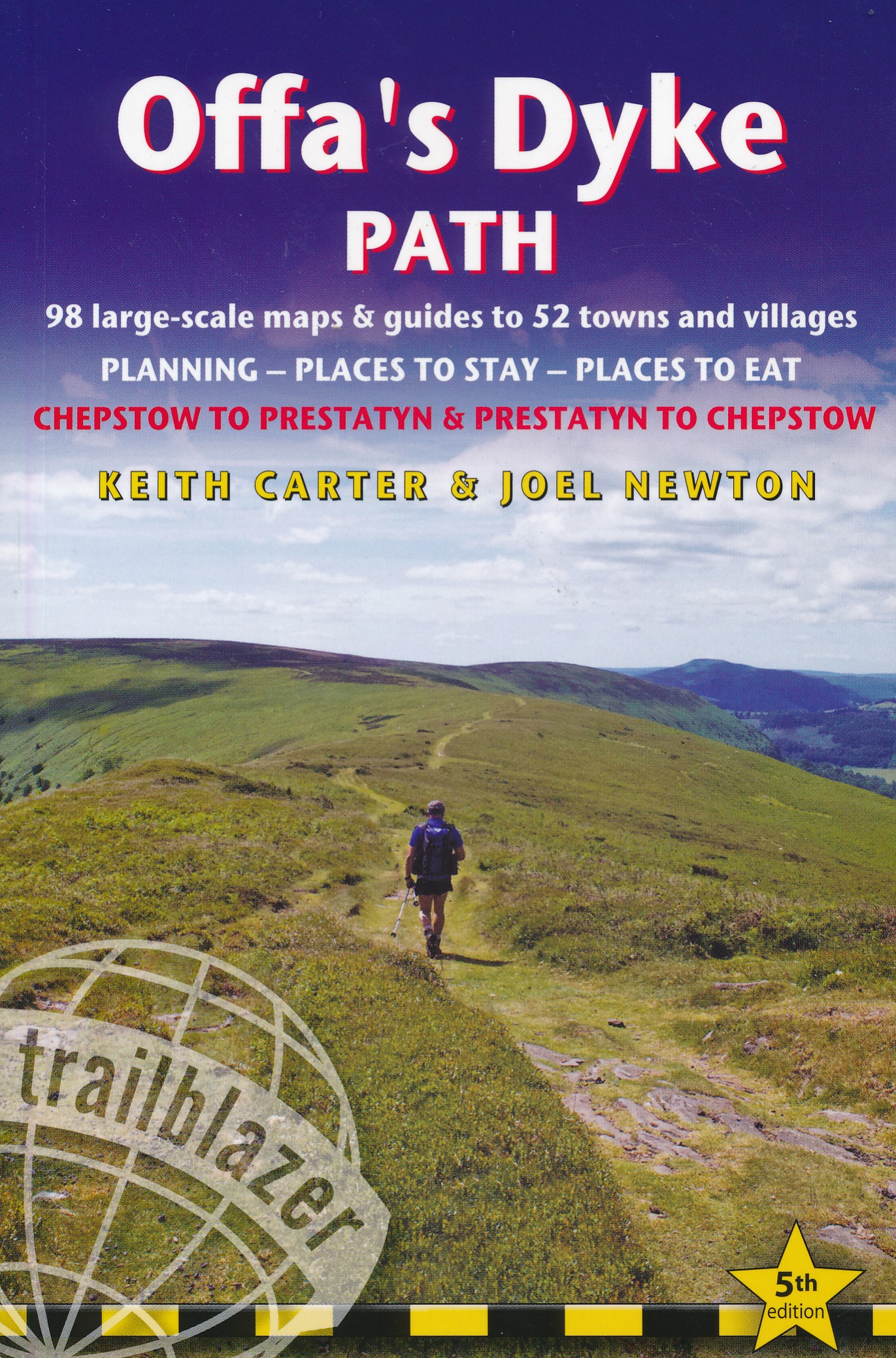
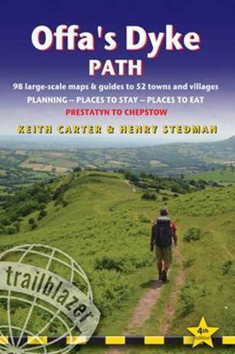
- Offa`s Dyke Path: Prestatyn To Chepstow
- The Offa`s Dyke Path is a magnificent National Trail that runs from the North Wales coast to the Severn Estuary following the line of Offa`s Dyke, an impressive 8th century earthwork along the English/Welsh border. The ever-changing landscape - the Wye Valley, the Black Mountains, the Shropshire Hills and the Clwydian Hills - is steeped in... Leer más
- Also available from:
- The Book Depository, United Kingdom
- De Zwerver, Netherlands

The Book Depository
United Kingdom
2019
United Kingdom
2019
- Offa's Dyke Path (Trailblazer British Walking Guides) 2019
- Chepstow To Prestatyn & Prestatyn To Chepstow, Planning, Places to Stay, Places to Eat, 98 large-scale maps & guides to 52 towns and villages (Trailblazer British Walking Guides) Leer más
De Zwerver
Netherlands
2019
Netherlands
2019
- Wandelgids Offa's Dyke Path | Trailblazer Guides
- The Offa`s Dyke Path is a magnificent National Trail that runs from the North Wales coast to the Severn Estuary following the line of Offa`s Dyke, an impressive 8th century earthwork along the English/Welsh border. The ever-changing landscape - the Wye Valley, the Black Mountains, the Shropshire Hills and the Clwydian Hills - is steeped in... Leer más

Stanfords
United Kingdom
United Kingdom
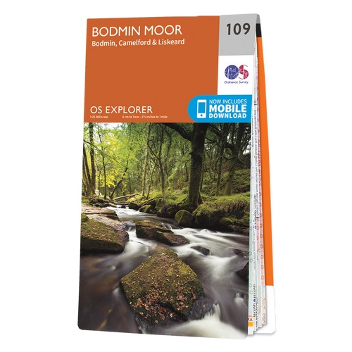
- Bodmin Moor - Bodmin, Camelford & Liskeard OS Explorer Active Map 109 (waterproof)
- Bodmin Moor, Bodmin, Camelford and Liskeard area on a detailed topographic and GPS compatible map No. 109, waterproof version, from the Ordnance Survey’s 1:25,000 Explorer series.MOBILE DOWNLOADS: this title and all the other OS Explorer maps include a code for downloading after purchase the digital version onto your smartphone or tablet for... Leer más
- Also available from:
- The Book Depository, United Kingdom


Stanfords
United Kingdom
United Kingdom
- Short Walks in Cornwall
- A practical little walk guide to Cornwall endorsed by the Ramblers. All of the 20 walks are 5 miles or under in length and can easily be completed in less than 3 hours. Clear Ordnance Survey maps show the route, along with easy-to-follow walk descriptions. Cornwall forms the tip of the south-west peninsula of the island of Great Britain. The... Leer más
- Also available from:
- The Book Depository, United Kingdom


Stanfords
United Kingdom
2015
United Kingdom
2015
- Bodmin Moor - Bodmin, Camelford & Liskeard OS Explorer Map 109 (paper)
- Bodmin Moor, Bodmin, Camelford and Liskeard area on a detailed topographic and GPS compatible map No. 109, paper version, from the Ordnance Survey’s 1:25,000 Explorer series.MOBILE DOWNLOADS: this title and all the other OS Explorer maps include a code for downloading after purchase the digital version onto your smartphone or tablet for viewing... Leer más
- Also available from:
- The Book Depository, United Kingdom
- De Zwerver, Netherlands

De Zwerver
Netherlands
2015
Netherlands
2015

The Book Depository
United Kingdom
United Kingdom
- A Boot Up Bodmin Moor and Around
- 10 Leisure Walks Fo Discovery Leer más


Stanfords
United Kingdom
United Kingdom
- Short Walks Exmoor: Leisure Walks for All Ages
- Exmoor consists of wide expanses of heather and rich woodland all of which are greatly enhanced by its varied wildlife. It has the West Country`s largest population of red deer, which frequent its woodland and moors and yet it remains less visited and less popular than the two other great uplands of south-west England - Dartmoor and Bodmin... Leer más
- Also available from:
- The Book Depository, United Kingdom

Bol.com
Netherlands
2015
Netherlands
2015
- Offa's Dyke Path
- The Offa's Dyke Path is a magnificent National Trail that runs from the North Wales coast to the Severn Estuary following the line of Offa's Dyke, an impressive 8th century earthwork along the English/Welsh border. The ever-changing landscape - the Wye Valley, the Black Mountains, the Shropshire Hills and the Clwydian Hills - is steeped in... Leer más
- Also available from:
- Bol.com, Belgium
Bol.com
Belgium
2015
Belgium
2015
- Offa's Dyke Path
- The Offa's Dyke Path is a magnificent National Trail that runs from the North Wales coast to the Severn Estuary following the line of Offa's Dyke, an impressive 8th century earthwork along the English/Welsh border. The ever-changing landscape - the Wye Valley, the Black Mountains, the Shropshire Hills and the Clwydian Hills - is steeped in... Leer más
Bol.com
Netherlands
Netherlands
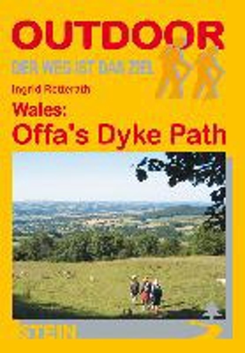
- Wales: Offa's Dyke Path
- Der Offa's Dyke Path ist einer der schönsten Long Distance Walks in Großbritannien und hat sich deshalb in den letzten Jahren auch zu einem der beliebtesten gemausert. Vom Bristol Channel im Süden zieht er sich an der Grenze zwischen England und Wales entlang bis zur Irischen See im Norden. Im Unterschied zu anderen Fernwanderwegen orientiert... Leer más
- Also available from:
- Bol.com, Belgium
Bol.com
Belgium
Belgium
- Wales: Offa's Dyke Path
- Der Offa's Dyke Path ist einer der schönsten Long Distance Walks in Großbritannien und hat sich deshalb in den letzten Jahren auch zu einem der beliebtesten gemausert. Vom Bristol Channel im Süden zieht er sich an der Grenze zwischen England und Wales entlang bis zur Irischen See im Norden. Im Unterschied zu anderen Fernwanderwegen orientiert... Leer más
Bol.com
Netherlands
Netherlands
- Blue Guide Hay-on-Wye
- Blue Guides: Complete Cultural Guides -- The only full guidebook treatment of this charming Welsh border town, famous for its second-hand bookstores and annual Book Festival. Meticulously researched and lovingly written, this book contains a wealth of detail on the town's past and present, its architecture and major monuments, including... Leer más
- Also available from:
- Bol.com, Belgium
Bol.com
Belgium
Belgium
- Blue Guide Hay-on-Wye
- Blue Guides: Complete Cultural Guides -- The only full guidebook treatment of this charming Welsh border town, famous for its second-hand bookstores and annual Book Festival. Meticulously researched and lovingly written, this book contains a wealth of detail on the town's past and present, its architecture and major monuments, including... Leer más
Stanfords
United Kingdom
2001
United Kingdom
2001
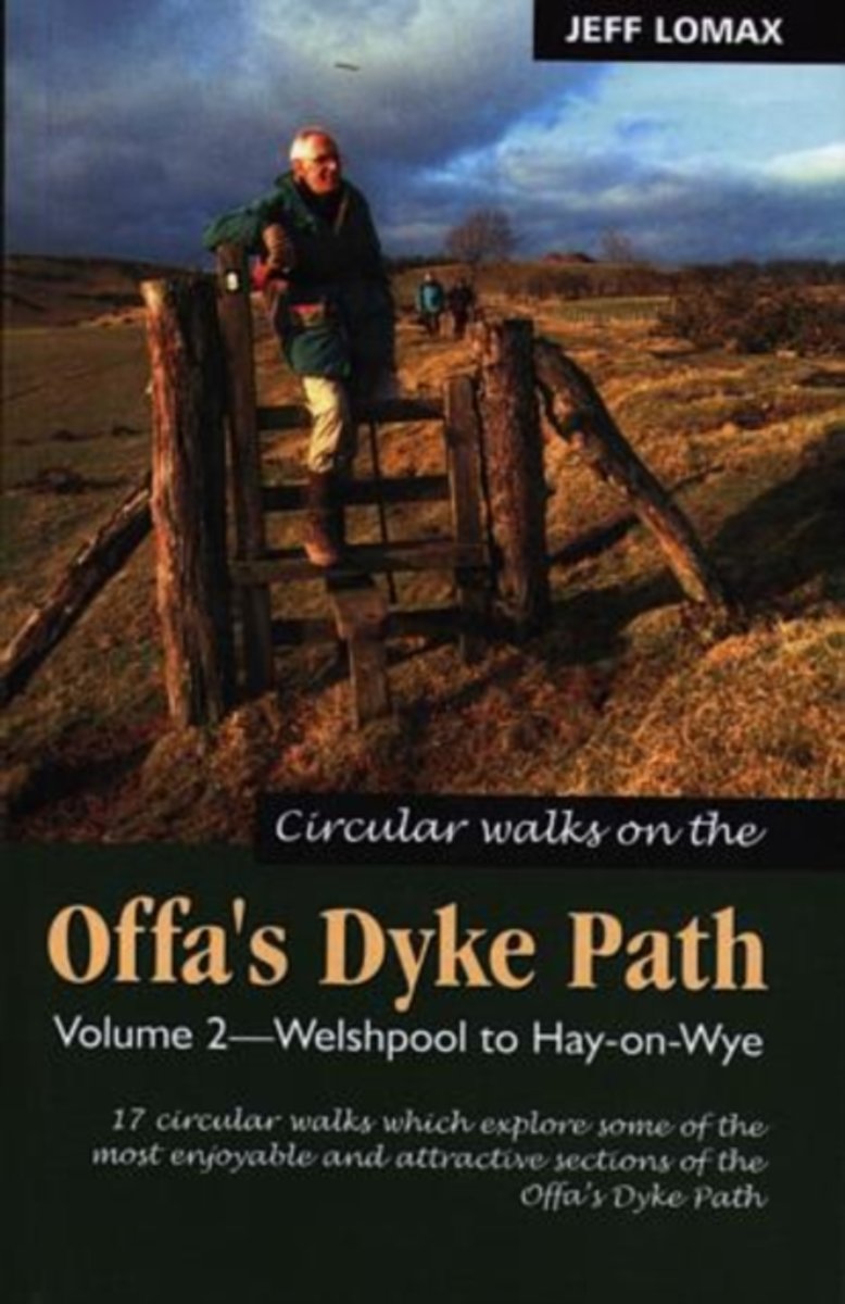
- Offa`s Dyke Path - Circular Walks Along, Vol.2
- 17 wandelingen variërend van zo´n 8 tot 17 km met mogelijkheden verschillende wandelingen te combineren. The central section of the Offa ´s Dyke Path, through the Welsh Marches between Welshpool and Hay-on-Wye, is a wonderful switchback walk. Eight rivers and numerous tributaries are crossed in beautiful countryside. The 17 walks in this book... Leer más
- Also available from:
- Bol.com, Netherlands
- Bol.com, Belgium
Bol.com
Netherlands
2001
Netherlands
2001
- Circular Walks Along the Offa's Dyke Path
- 17 wandelingen variërend van zo´n 8 tot 17 km met mogelijkheden verschillende wandelingen te combineren. The central section of the Offa ´s Dyke Path, through the Welsh Marches between Welshpool and Hay-on-Wye, is a wonderful switchback walk. Eight rivers and numerous tributaries are crossed in beautiful countryside. The 17 walks in this book... Leer más
Bol.com
Belgium
2001
Belgium
2001
- Circular Walks Along the Offa's Dyke Path
- 17 wandelingen variërend van zo´n 8 tot 17 km met mogelijkheden verschillende wandelingen te combineren. The central section of the Offa ´s Dyke Path, through the Welsh Marches between Welshpool and Hay-on-Wye, is a wonderful switchback walk. Eight rivers and numerous tributaries are crossed in beautiful countryside. The 17 walks in this book... Leer más

Stanfords
United Kingdom
2017
United Kingdom
2017
- North Wales and Snowdonia
- Pathfinder(R) North Wales & Snowdonia spans the breadth of North Wales from the tip of the Lleyn Peninsula to Caergwrle and Chirk, within sight of the English border, with plenty of excellent walking in between across Lleyn, Snowdonia, the Berwyn mountains, Vale of Clywd and the Clwydian Hills. This selection offers interest, regional variety... Leer más
- Also available from:
- Bol.com, Netherlands
- Bol.com, Belgium
Bol.com
Netherlands
2017
Netherlands
2017
- NORTH WALES & SNOWDONIA
- Pathfinder(R) North Wales & Snowdonia spans the breadth of North Wales from the tip of the Lleyn Peninsula to Caergwrle and Chirk, within sight of the English border, with plenty of excellent walking in between across Lleyn, Snowdonia, the Berwyn mountains, Vale of Clywd and the Clwydian Hills. This selection offers interest, regional variety... Leer más
Bol.com
Belgium
2017
Belgium
2017
- NORTH WALES & SNOWDONIA
- Pathfinder(R) North Wales & Snowdonia spans the breadth of North Wales from the tip of the Lleyn Peninsula to Caergwrle and Chirk, within sight of the English border, with plenty of excellent walking in between across Lleyn, Snowdonia, the Berwyn mountains, Vale of Clywd and the Clwydian Hills. This selection offers interest, regional variety... Leer más

Stanfords
United Kingdom
2015
United Kingdom
2015
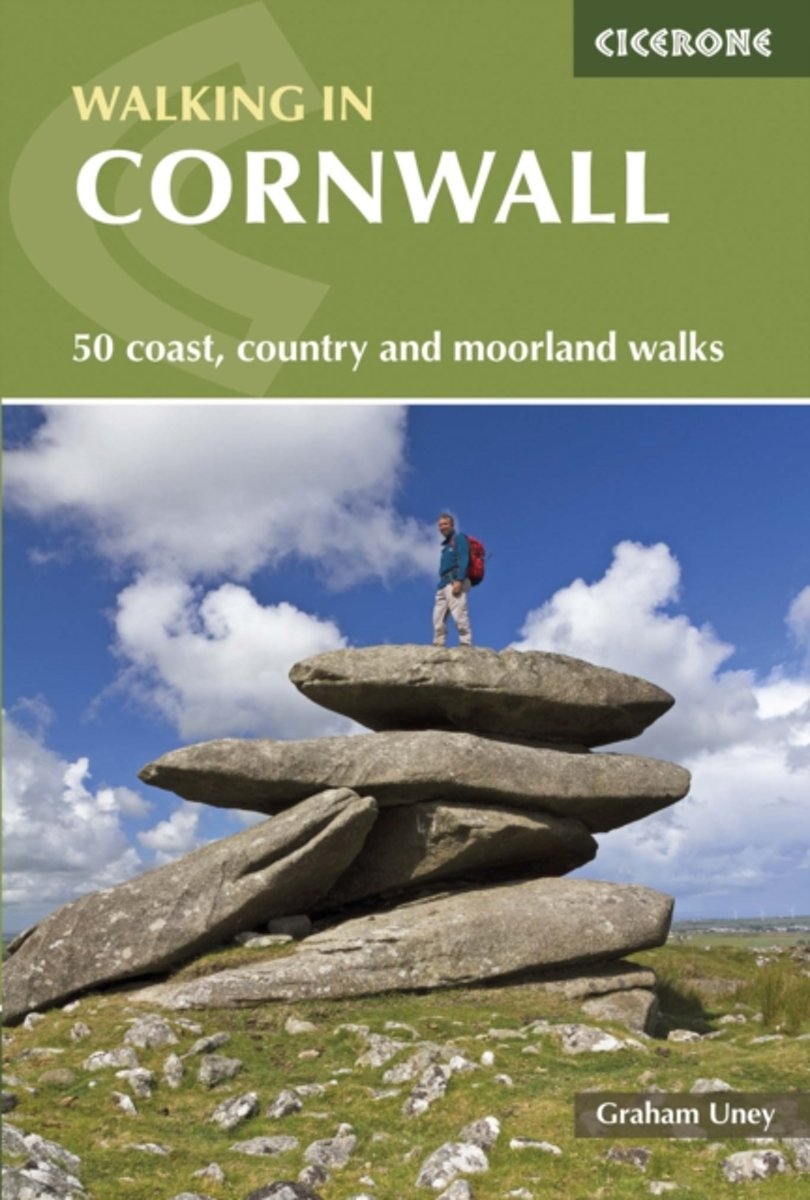
- Cornwall Walking: 50 Coast, Country and Moorland Walks
- This guidebook offers walkers 40 half to full day rambles on the coasts and inland hills of Cornwall. With routes ranging from short, 2 mile strolls to longer walks of over 8 miles, as well as plenty of opportunities to combine routes together, this guide provides plenty of variety for walkers of all abilities. The guidebook is divided into... Leer más
- Also available from:
- The Book Depository, United Kingdom
- Bol.com, Netherlands
- Bol.com, Belgium
- De Zwerver, Netherlands

The Book Depository
United Kingdom
2015
United Kingdom
2015
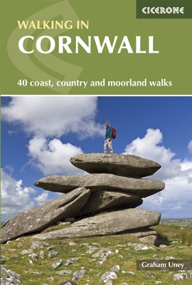
- Walking in Cornwall
- 40 coast, country and moorland walks Leer más
Bol.com
Netherlands
2015
Netherlands
2015
- Walking in Cornwall
- This guidebook offers walkers 40 half to full day rambles on the coasts and inland hills of Cornwall. With routes ranging from short, 2 mile strolls to longer walks of over 8 miles, as well as plenty of opportunities to combine routes together, this guide provides plenty of variety for walkers of all abilities. The guidebook is divided into... Leer más
Bol.com
Belgium
2015
Belgium
2015
- Walking in Cornwall
- This guidebook offers walkers 40 half to full day rambles on the coasts and inland hills of Cornwall. With routes ranging from short, 2 mile strolls to longer walks of over 8 miles, as well as plenty of opportunities to combine routes together, this guide provides plenty of variety for walkers of all abilities. The guidebook is divided into... Leer más
De Zwerver
Netherlands
2015
Netherlands
2015
- Wandelgids Walking in Cornwall | Cicerone
- This guidebook includes routes to 40 day walks in Cornwall. From short, easy strolls to longer, wilder routes, there is plenty to appeal to both families and experienced walkers. The walks explore the interior and coasts, including walks through picturesque villages, old tin-mining areas and the Lizard and Land's End Peninsulas. Leer más
Bol.com
Netherlands
2017
Netherlands
2017
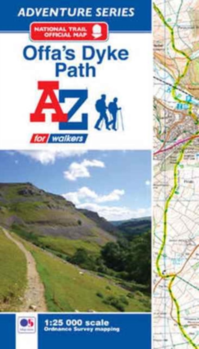
- Offa's Dyke Path Adventure Atlas
- AZ heeft de meest gedetailleerde wandelkaarten van het Offa's Dyke Path gebundeld in een atlasje. Daardoor is het heel handig qua formaat. De kaarten zelf zijn perfect voor het wandelen. Schaal 1:25.000 The A-Z Adventure Series of maps combines the best of OS and A-Z, creating the perfect companion for walkers, off-road cyclists, horse riders... Leer más
- Also available from:
- Bol.com, Belgium
Bol.com
Belgium
2017
Belgium
2017
- Offa's Dyke Path Adventure Atlas
- AZ heeft de meest gedetailleerde wandelkaarten van het Offa's Dyke Path gebundeld in een atlasje. Daardoor is het heel handig qua formaat. De kaarten zelf zijn perfect voor het wandelen. Schaal 1:25.000 The A-Z Adventure Series of maps combines the best of OS and A-Z, creating the perfect companion for walkers, off-road cyclists, horse riders... Leer más

Stanfords
United Kingdom
2021
United Kingdom
2021
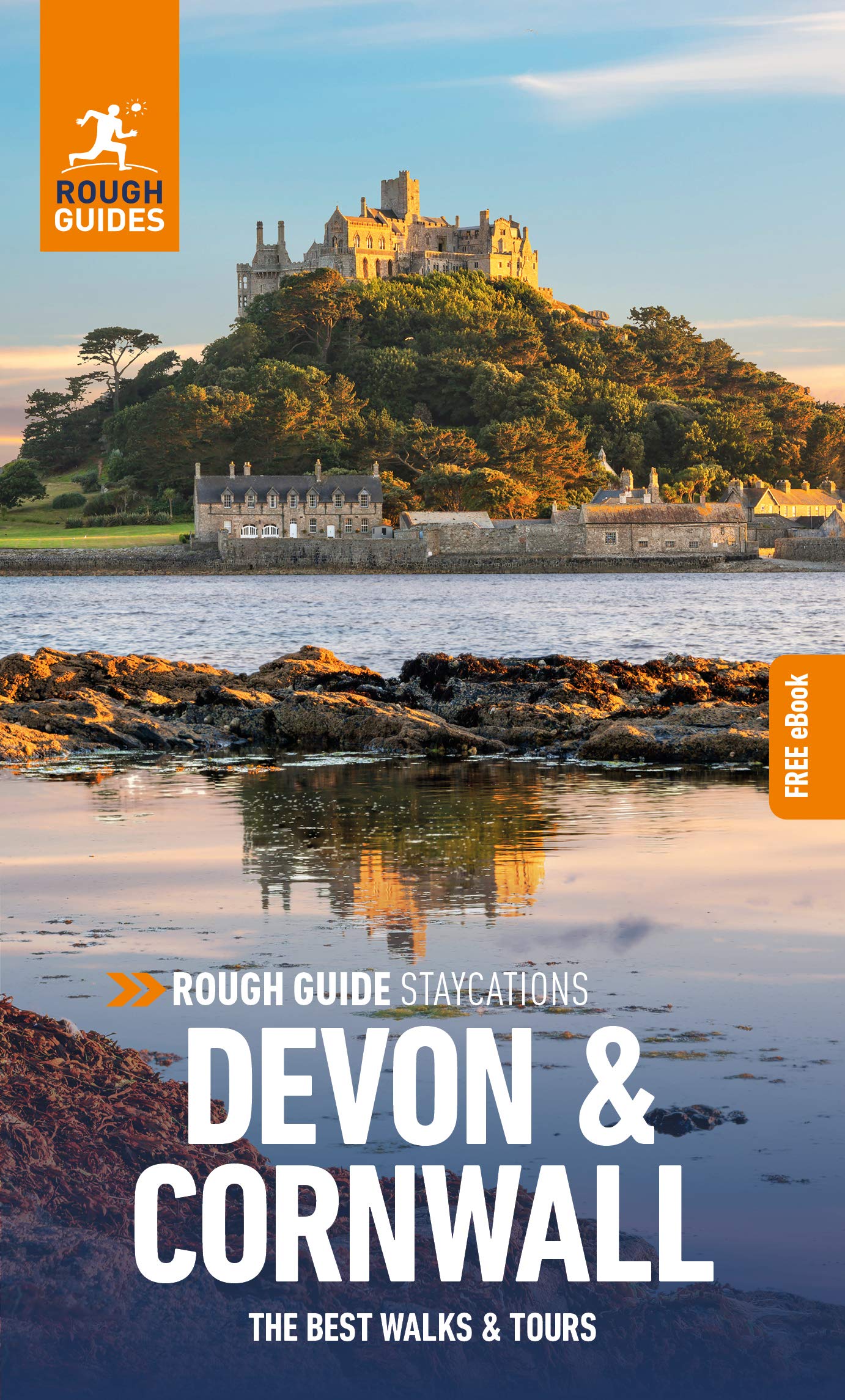
- Pocket Rough Guide Staycations Devon & Cornwall (Travel Guide with Free eBook)
- Rough Guides Staycations Devon and CornwallMake the most of your time on Earth with the ultimate travel guides.Inspirational and informative new pocket guide, with free eBook, making the most of holidaying at home in the UK through clearly laid-out walks and tours.Explore the best of Devon and Cornwall with this unique travel guide, packed full... Leer más
- Also available from:
- De Zwerver, Netherlands
De Zwerver
Netherlands
2021
Netherlands
2021
- Reisgids Devon and Cornwall | Rough Guides
- Rough Guides Staycations Devon and CornwallMake the most of your time on Earth with the ultimate travel guides.Inspirational and informative new pocket guide, with free eBook, making the most of holidaying at home in the UK through clearly laid-out walks and tours.Explore the best of Devon and Cornwall with this unique travel guide, packed full... Leer más
Mapas

Stanfords
United Kingdom
United Kingdom
- Plymouth and Launceston 1809-1919 (3-map set)
- Map No. 201, Plymouth and Launceston 1809-1919 (3-map set), in the Cassini Historical Series of old Ordnance Survey mapping of England and Wales at 1:50,000 in a format designed to offer a convenient comparison with the present day coverage from the OS, and most locations in three different editions. Old historical maps have been combined so... Leer más
Stanfords
United Kingdom
United Kingdom
- Newquay and Bodmin 1813
- Map No. 200, Newquay and Bodmin 1813, in the Cassini Historical Series of old Ordnance Survey mapping of England and Wales at 1:50,000 in a format designed to offer a convenient comparison with the present day coverage from the OS, and most locations in three different editions. Old historical maps have been combined so that the sheet lines... Leer más
Stanfords
United Kingdom
United Kingdom
- Plymouth and Launceston 1809-1813
- Map No. 201, Plymouth and Launceston 1809-1813, in the Cassini Historical Series of old Ordnance Survey mapping of England and Wales at 1:50,000 in a format designed to offer a convenient comparison with the present day coverage from the OS, and most locations in three different editions. Old historical maps have been combined so that the sheet... Leer más
Stanfords
United Kingdom
United Kingdom
- Newquay and Bodmin 1919
- Map No. 200, Newquay and Bodmin 1919, in the Cassini Historical Series of old Ordnance Survey mapping of England and Wales at 1:50,000 in a format designed to offer a convenient comparison with the present day coverage from the OS, and most locations in three different editions. Old historical maps have been combined so that the sheet lines... Leer más
Stanfords
United Kingdom
United Kingdom
- Plymouth and Launceston 1919
- Map No. 201, Plymouth and Launceston 1919, in the Cassini Historical Series of old Ordnance Survey mapping of England and Wales at 1:50,000 in a format designed to offer a convenient comparison with the present day coverage from the OS, and most locations in three different editions. Old historical maps have been combined so that the sheet... Leer más
Stanfords
United Kingdom
United Kingdom
- Newquay and Bodmin 1900
- Map No. 200, Newquay and Bodmin 1900, in the Cassini Historical Series of old Ordnance Survey mapping of England and Wales at 1:50,000 in a format designed to offer a convenient comparison with the present day coverage from the OS, and most locations in three different editions. Old historical maps have been combined so that the sheet lines... Leer más
Stanfords
United Kingdom
United Kingdom
- Plymouth and Launceston 1899-1900
- Map No. 201, Plymouth and Launceston 1899-1900, in the Cassini Historical Series of old Ordnance Survey mapping of England and Wales at 1:50,000 in a format designed to offer a convenient comparison with the present day coverage from the OS, and most locations in three different editions. Old historical maps have been combined so that the sheet... Leer más
Stanfords
United Kingdom
United Kingdom
- Newquay and Bodmin 1813-1919 (3-map set)
- Map No. 200, Newquay and Bodmin 1813-1919 (3-map set), in the Cassini Historical Series of old Ordnance Survey mapping of England and Wales at 1:50,000 in a format designed to offer a convenient comparison with the present day coverage from the OS, and most locations in three different editions. Old historical maps have been combined so that... Leer más

- Also available from:
- De Zwerver, Netherlands


Bol.com
Netherlands
Netherlands
- Offa's Dyke Path South
- Wandelkaart van het Zuidelijk deel van Offa's Dyke Path met uitsnedes van de route. Offa's Dyke Path is a National Trail. It runs along the border between Wales and England. Offa was a famous king of Mercia from 757 to 796, ruling an area stretching across a large part of England. Offa's Dyke Path runs from sea to sea - the Severn... Leer más
- Also available from:
- Bol.com, Belgium
Bol.com
Belgium
Belgium
- Offa's Dyke Path South
- Wandelkaart van het Zuidelijk deel van Offa's Dyke Path met uitsnedes van de route. Offa's Dyke Path is a National Trail. It runs along the border between Wales and England. Offa was a famous king of Mercia from 757 to 796, ruling an area stretching across a large part of England. Offa's Dyke Path runs from sea to sea - the Severn... Leer más