
Islas Baleares
Descripción

The Balearic Islands a are well known holiday destination. Sun and beach are the keywords. Blessed with a benign subtropical climate, the islands are interesting for hiking too. The two largest islands - Majorca and Menorca - offer interesting long distance paths, not just by connecting some rural roads together, but by restoring old roads and landscapes. These trails - GR221, GR222, GR223 - are described in guidebooks, waymarked, and the Majorca authorities also put refuges in place.
Even with the Mediterranean nearby, summer is hot for hiking. Spring or autumn are better seasons. October can be wet.
The four main islands are, in order of size:
- Mallorca, 3.640 km2, mountains in the north, two great long distance trails
- Menorca, 695 km2, great coastal trail along the entire island
- Ibiza, 572 km2, rural interior and some hills, find your own hikes
- Formentera, 83 km2, small island with loooong beaches
Mapa

Senderos en región
Enlaces
Datos
Informes
Guías y mapas
Hospedaje
Organizaciones
Operadores turísticos
GPS
Otro
Libros

Stanfords
United Kingdom
2014
United Kingdom
2014
- Ibiza and Formentera: Car Tours, Cycle Tours and Walks
- Ibiza & Formentera in the Sunflower Landscapes guide series; exploring the best walking and touring possibilities in the region or area. Detailed information about touring by hired car or public transport, as well as on foot, is provided, helping walkers to navigate and plan day-trips. Shorter strolls are also included as an alternative for... Leer más

Stanfords
United Kingdom
2016
United Kingdom
2016
- Menorca Sunflower Landscape Guide
- This new 6th edition of Sunflower`s popular guide to Menorca has been reformatted to feature many new walks and to include a section on the Cami de Cavalls a walking/cycling/riding trail circling the island alongside or near the coast.Menorca is a peaceful island, much more low-key than the neighbouring Balearic Islands of Mallorca and Ibiza.... Leer más

Stanfords
United Kingdom
United Kingdom
- Mallorca 4-Map Set Kompass 2230
- Mallorca on a set of four double-sided, contoured and GPS compatible maps at 1:35,000 from Kompass with exceptionally detailed presentation of the topography, extensive overprint for hiking trails and cycling routes, accommodation and places of interest, etc, plus street plans of central Palma de Mallorca, Platja de Palma, Sóller, Alcúdia/Port... Leer más

Stanfords
United Kingdom
2021
United Kingdom
2021
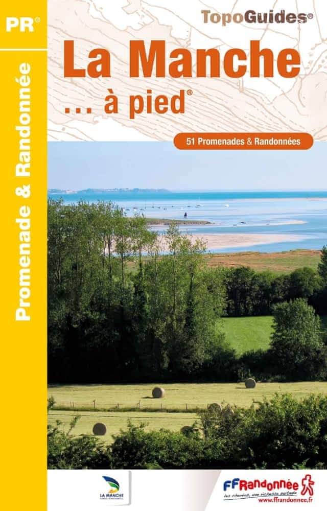
- La Manche à pied
- La Manche à pied, FFRP topo-guide Ref. No. D050, with 51 day walks of varying length and difficulty in the department of La Manche. Coverage extends from Avranches to the tip of the Cotentin Peninsula and includes a walk along the Utah D-Day Beach. Each walk is presented on a separate colour extract from IGN’s topographic survey of France at... Leer más
- Also available from:
- The Book Depository, United Kingdom
- De Zwerver, Netherlands


The Book Depository
United Kingdom
2022
United Kingdom
2022
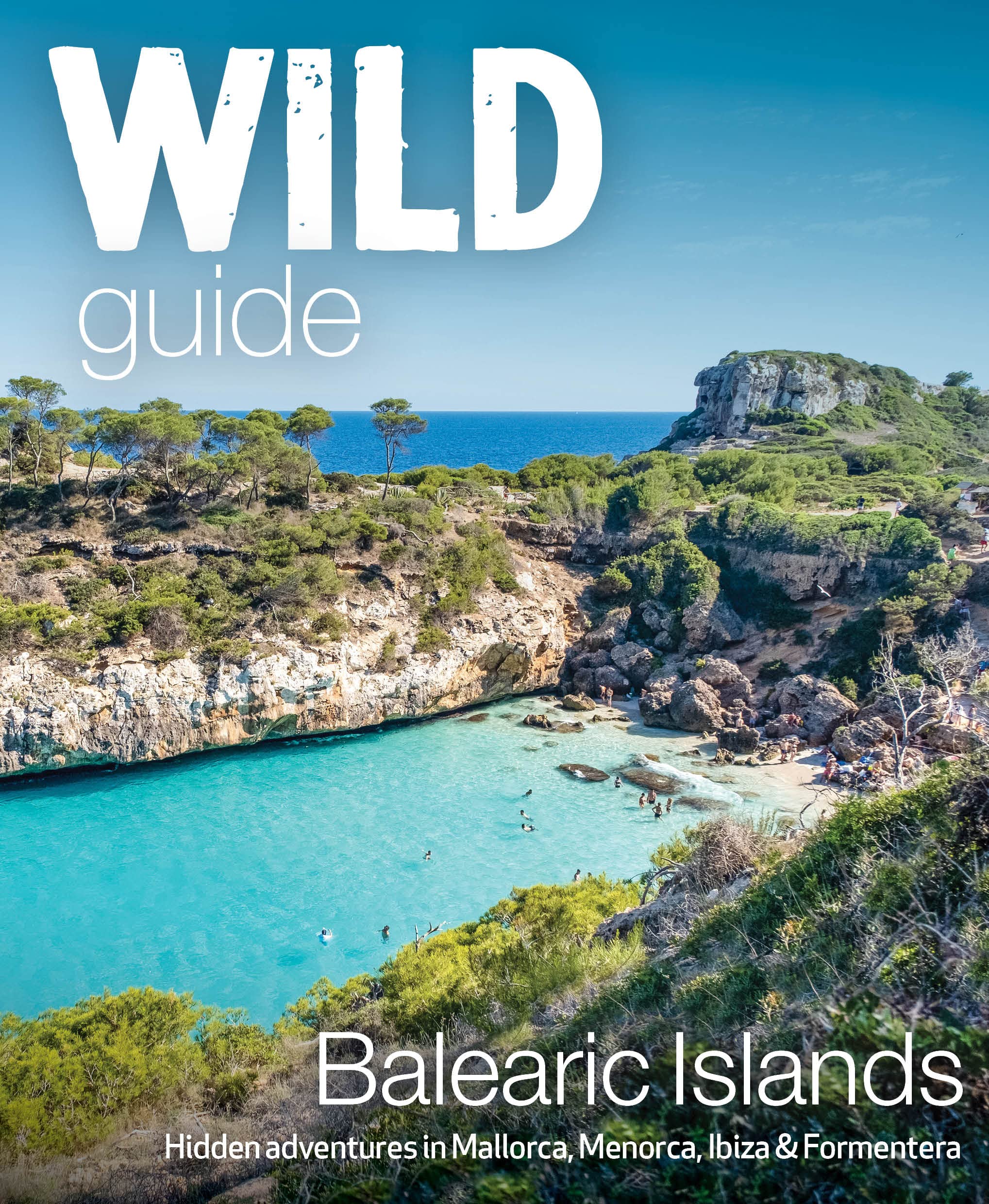
- Wild Guide Balearic Islands
- Secret coves, mountains, caves and adventure in Mallorca, Menorca, Ibiza & Formentera Leer más
- Also available from:
- De Zwerver, Netherlands
De Zwerver
Netherlands
2022
Netherlands
2022
- Reisgids Wild Guide Balearic Islands | Wild Things Publishing
- Secret coves, mountains, caves and adventure in Mallorca, Menorca, Ibiza & Formentera Leer más

Stanfords
United Kingdom
2021
United Kingdom
2021
- Tour du Cotentin - Littorral de la Normandie GR223
- Tour du Cotentin, FFRP topoguide Ref. no. 200, covering the GR223 along the coast of the Cotentin Peninsula from Isigny-sur-Mer to Mont-St-Michel, including the Utah Beach of the D-Day Normandy Landings. Together with several variants off the main route, the guide provides coverage of nearly 600kms of hiking trails. Current edition of this... Leer más
- Also available from:
- The Book Depository, United Kingdom
- De Zwerver, Netherlands


Bol.com
Netherlands
2010
Netherlands
2010
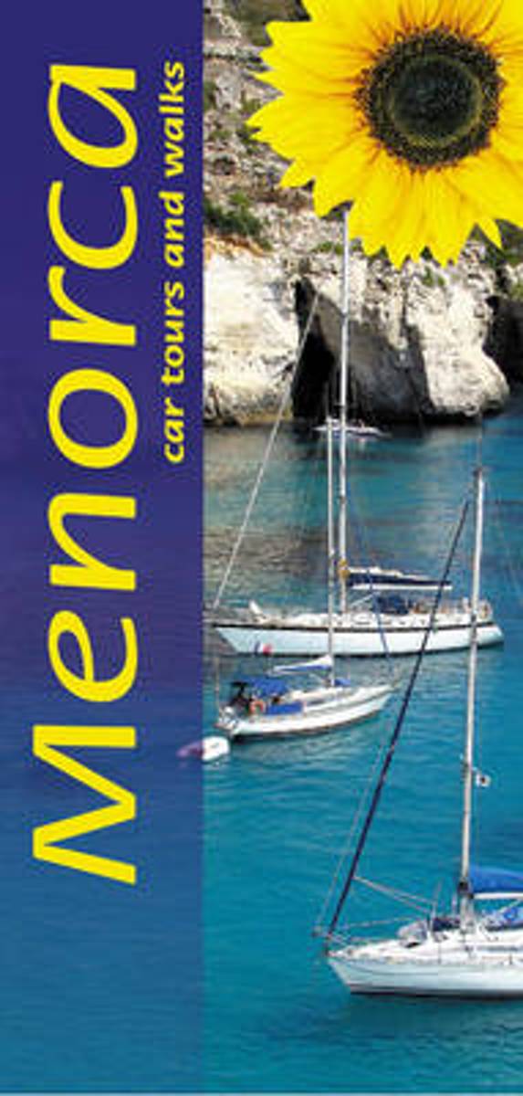
- Menorca
- Pocket-sized and in full colour, this new edition describes car tours, walks and countryside picnics. Both the fold-out touring map and the large-scale (1:40,000) topo walking maps show the newly inaaugurated Cami de Cavalls, a walking/cycling/riding trail circling the island alongside or near the coast. Timetables for local transport. Unique... Leer más
- Also available from:
- Bol.com, Belgium
Bol.com
Belgium
2010
Belgium
2010
- Menorca
- Pocket-sized and in full colour, this new edition describes car tours, walks and countryside picnics. Both the fold-out touring map and the large-scale (1:40,000) topo walking maps show the newly inaaugurated Cami de Cavalls, a walking/cycling/riding trail circling the island alongside or near the coast. Timetables for local transport. Unique... Leer más
De Zwerver
Netherlands
2016
Netherlands
2016
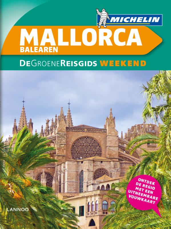
- Reisgids Michelin groene gids weekend Mallorca - De Balearen | Lannoo
- De 3-sterrengids voor een geslaagde citytrip - Met extra aandacht voor de must sees en must do's op de Balearen - De eilanden in 3 of 6 dagen: met een uitgewerkt reisplan - Meer dan 100 adressen om gezellig te tafelen, een glaasje te drinken, uit te gaan of te shoppen - De hoogtepunten op de Balearen, met de handige Michelin sterrenbeoordeling... Leer más

Stanfords
United Kingdom
2015
United Kingdom
2015
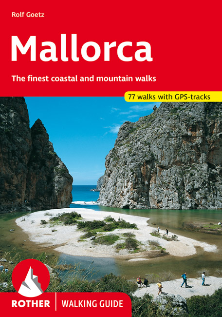
- Mallorca Rother Guide
- Rother’s handy little hiking book to Mallorca has 70 tour recommendations described in detail.Generously illustrated by photos and colour map excerpts (scale 1:50,000 and 1:75,000), there is also an overview map (at 1:500,000 scale) which is ideal for route planning. Thoroughly-researched introductory chapters with tips on interesting sights... Leer más
- Also available from:
- De Zwerver, Netherlands
De Zwerver
Netherlands
2021
Netherlands
2021
- Wandelgids Mallorca | Rother Bergverlag
- The finest coastal and montain walks. 70 walks. With GPS Data. Rother Wanderführer. 4., completely revised edition 2015. Leer más
Bol.com
Netherlands
Netherlands
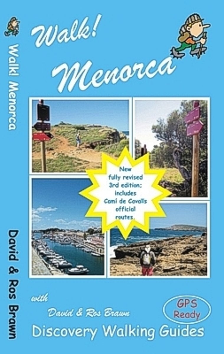
- Walk! Menorca
- The island of Menorca (Minorca) is a true Mediterranean gem; unspoilt countyside, beautiful beaches, prehistoric sites, a wealth of wild flowers, wild tortoises, butterflies, bird life, historic towns and relics from the island's turbulent past. Such a special island deserves only the best so Walk! Menorca (3rd edition) has been researched to... Leer más
- Also available from:
- Bol.com, Belgium
Bol.com
Belgium
Belgium
- Walk! Menorca
- The island of Menorca (Minorca) is a true Mediterranean gem; unspoilt countyside, beautiful beaches, prehistoric sites, a wealth of wild flowers, wild tortoises, butterflies, bird life, historic towns and relics from the island's turbulent past. Such a special island deserves only the best so Walk! Menorca (3rd edition) has been researched to... Leer más
De Zwerver
Netherlands
2019
Netherlands
2019
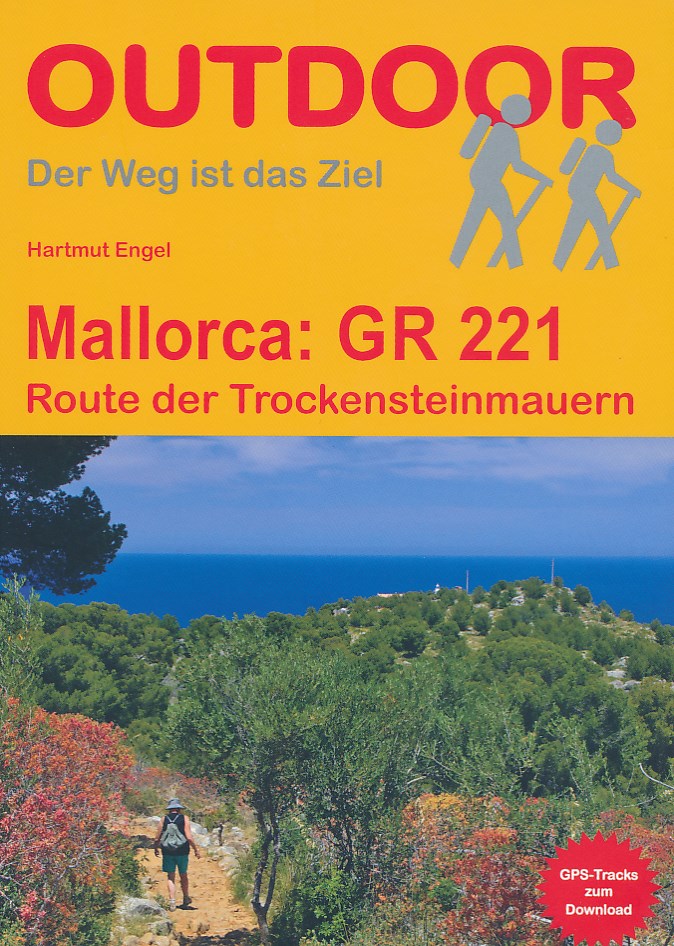
- Wandelgids Mallorca GR221 | Conrad Stein Verlag
- Handzaam boekje met de routebeschrijving inclusief een heleboel praktische informatie. De beschrijving is uitstekend, maar kaarten zijn beperkt en schetsmatig aanwezig. Duits. Auch auf Mallorca findet man noch unberührte Natur und abgeschiedene Wege: z. B. in der Serra de Tramuntana (Serra del Norte), dem Gebirge im Westen der Insel. Auf der... Leer más

Stanfords
United Kingdom
2009
United Kingdom
2009
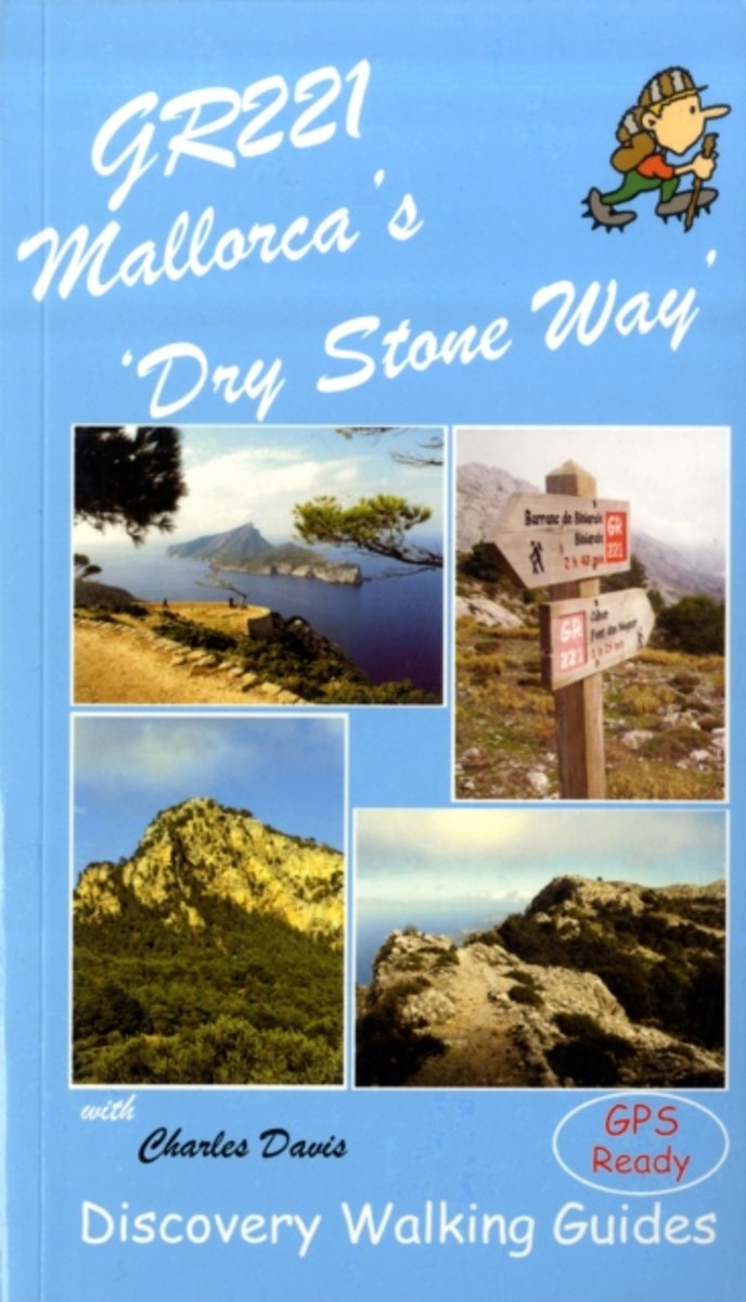
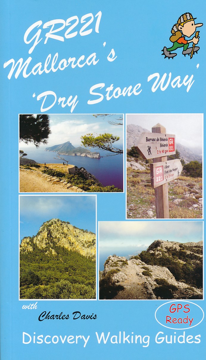
- GR221 Mallorca`s `Dry Stone Way`
- “GR221 Mallorca’s ‘Dry Stone Way’ ” is Charles Davis’ Discovery Walking Guide to a walk that covers 115 kilometres including the Tramuntana range, the forest of Holm Oak and more.The guide describes the trail in eight stages, with GPS waymarked walking points; an extensive introduction provides information on the route itself, when to go, flora... Leer más
- Also available from:
- The Book Depository, United Kingdom
- Bol.com, Netherlands
- Bol.com, Belgium
- De Zwerver, Netherlands

The Book Depository
United Kingdom
2009
United Kingdom
2009
- GR221 Mallorca's Long Distance Walking Route
- Gedetailleerde beschrijving van de GR 221 op Mallorca, met veel praktische informatie, hoogteprofielen, goed kaartmateriaal etc. Achterin ook nog eens veel GPS - waypoints. Bijna onmisbaar bij het lopen van de route! Walk! GR221 Mallorca's Long Distance Trail - The Dry Stone Way. If you want to get away from it all , there is no surer way... Leer más
Bol.com
Netherlands
2009
Netherlands
2009
- GR221 Mallorca's Long Distance Walking Route
- Walk! GR221 Mallorca's Long Distance Trail - The Dry Stone Way. If you want to get away from it all , there is no surer way than strapping on your boots, shouldering your backpack, and embarking on a long distance path; and there are few long distance paths more beguiling and more crammed with adventure than Mallorca s GR221, La Ruta de Pedra... Leer más
Bol.com
Belgium
2009
Belgium
2009
- GR221 Mallorca's Long Distance Walking Route
- Walk! GR221 Mallorca's Long Distance Trail - The Dry Stone Way. If you want to get away from it all , there is no surer way than strapping on your boots, shouldering your backpack, and embarking on a long distance path; and there are few long distance paths more beguiling and more crammed with adventure than Mallorca s GR221, La Ruta de Pedra... Leer más
De Zwerver
Netherlands
2009
Netherlands
2009
- Wandelgids GR221 Mallorca's Long Distance Trail | Discovery Walking Guides
- Gedetailleerde beschrijving van de GR 221 op Mallorca, met veel praktische informatie, hoogteprofielen, goed kaartmateriaal etc. Achterin ook nog eens veel GPS - waypoints. Bijna onmisbaar bij het lopen van de route! Walk! GR221 Mallorca's Long Distance Trail - The Dry Stone Way. If you want to get away from it all , there is no surer way... Leer más
De Zwerver
Netherlands
Netherlands
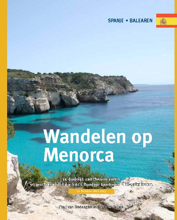
- Wandelgids Wandelen op Menorca | One Day Walks
- Menorca is één van de minst toeristische eilanden van de Balearen (Spanje). In deze eerste en enige Nederlandstalige wandelgids vind je 20 uitgebreid beschreven dagtochten en rondwandelingen van een paar uur. Met duidelijk omschreven routes, 70 prachtige full colour foto's van alle bezienswaardigheden, handige kaarten en GPS-coördinaten.... Leer más
Bol.com
Netherlands
Netherlands
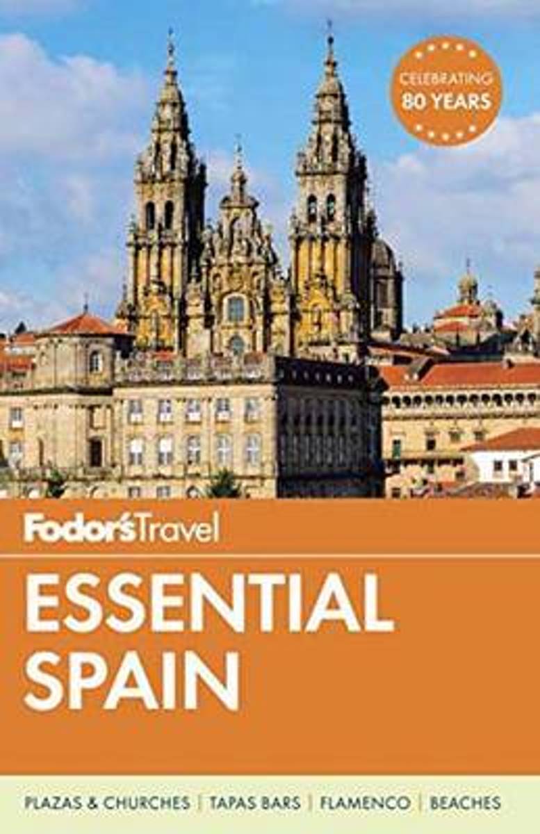
- Fodor's Essential Spain
- Written by locals, Fodor's travel guides have been offering expert advice for all tastes and budgets for 80 years. Spain remains one of the world's most popular tourist destinations for its cutting-edge cuisine and superior wine, festivals like the running of the bulls in Pamplona, world-class museums like the Museo del Prado, amazing... Leer más
- Also available from:
- Bol.com, Belgium
Bol.com
Belgium
Belgium
- Fodor's Essential Spain
- Written by locals, Fodor's travel guides have been offering expert advice for all tastes and budgets for 80 years. Spain remains one of the world's most popular tourist destinations for its cutting-edge cuisine and superior wine, festivals like the running of the bulls in Pamplona, world-class museums like the Museo del Prado, amazing... Leer más

Stanfords
United Kingdom
2022
United Kingdom
2022
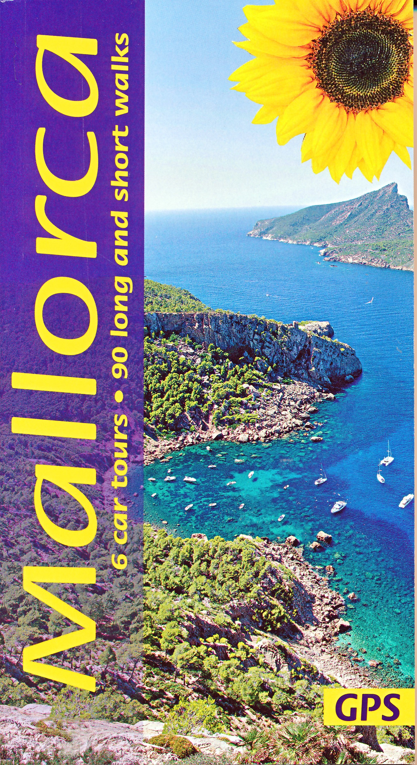
- Mallorca Guide: 90 long and short walks with detailed maps and GPS; 6 car tours with pull-out map
- The go-to Mallorca travel guide for over 30 years. Strap on your boots and discover Mallorca on foot with the Sunflower Mallorca travel guide. And on the days when your feet may have had enough, enjoy some spectacular scenery on one of our legendary car tours. The Sunflower Mallorca guide is indispensable for hiking in Mallorca or seeing... Leer más
- Also available from:
- De Zwerver, Netherlands
De Zwerver
Netherlands
2022
Netherlands
2022
- Wandelgids Mallorca | Sunflower books
- The go-to Mallorca travel guide for over 30 years. Strap on your boots and discover Mallorca on foot with the Sunflower Mallorca travel guide. And on the days when your feet may have had enough, enjoy some spectacular scenery on one of our legendary car tours. The Sunflower Mallorca guide is indispensable for hiking in Mallorca or seeing... Leer más
Mapas

Stanfords
United Kingdom
United Kingdom
- Sineu 25K Mallorca CNIG Topographic Survey Map No. 699-II
- Topographic coverage of the Balearic Islands at 1:25,000 published by the Instituto Geográfico Nacional – Centro Nacional de Información Geografica, the country’s civilian survey organization. The maps have contours at 10m intervals and colouring and/or graphics to show different types of vegetation or land use. Boundaries of national parks and... Leer más
Stanfords
United Kingdom
United Kingdom
- Muro CNIG 25K Topographic Map 671-4
- Topographic coverage of the Balearic Islands at 1:25,000 published by the Instituto Geográfico Nacional – Centro Nacional de Información Geografica, the country’s civilian survey organization. The maps have contours at 10m intervals and colouring and/or graphics to show different types of vegetation or land use. Boundaries of national parks and... Leer más

Stanfords
United Kingdom
United Kingdom
- Sa Calobra CNIG Topo 643
- Topographic coverage of the Balearic Islands at 1:50,000 in the MTN50 (Mapa Topográfico Nacional) series from the Instituto Geográfico Nacional – Centro Nacional de Información Geografica, the country’s civilian survey organization. The maps have contours at 20m intervals, enhanced by relief shading, plus colouring and/or graphics to show... Leer más
Stanfords
United Kingdom
United Kingdom
- Ciutadella - Menorca CNIG Topo 618-3
- Topographic coverage of the Balearic Islands at 1:25,000 published by the Instituto Geográfico Nacional – Centro Nacional de Información Geografica, the country’s civilian survey organization. The maps have contours at 10m intervals and colouring and/or graphics to show different types of vegetation or land use. Boundaries of national parks and... Leer más
Stanfords
United Kingdom
United Kingdom
- Andraitx CNIG Topo 697
- Topographic coverage of the Balearic Islands at 1:50,000 in the MTN50 (Mapa Topográfico Nacional) series from the Instituto Geográfico Nacional – Centro Nacional de Información Geografica, the country’s civilian survey organization. The maps have contours at 20m intervals, enhanced by relief shading, plus colouring and/or graphics to show... Leer más
Stanfords
United Kingdom
United Kingdom
- Macanor CNIG Topo 700
- Topographic coverage of the Balearic Islands at 1:50,000 in the MTN50 (Mapa Topográfico Nacional) series from the Instituto Geográfico Nacional – Centro Nacional de Información Geografica, the country’s civilian survey organization. The maps have contours at 20m intervals, enhanced by relief shading, plus colouring and/or graphics to show... Leer más
Stanfords
United Kingdom
United Kingdom
- Son Marc - Mallorca CNIG Topo 644-3/643-4
- Topographic coverage of the Balearic Islands at 1:25,000 published by the Instituto Geográfico Nacional – Centro Nacional de Información Geografica, the country’s civilian survey organization. The maps have contours at 10m intervals and colouring and/or graphics to show different types of vegetation or land use. Boundaries of national parks and... Leer más
Stanfords
United Kingdom
United Kingdom
- Sa Vileta CNIG Topo 698-1
- Topographic coverage of the Balearic Islands at 1:25,000 published by the Instituto Geográfico Nacional – Centro Nacional de Información Geografica, the country’s civilian survey organization. The maps have contours at 10m intervals and colouring and/or graphics to show different types of vegetation or land use. Boundaries of national parks and... Leer más
Stanfords
United Kingdom
United Kingdom
- Can Picafort 25K Mallorca CNIG Topographic Survey Map No. 672-I
- Topographic coverage of the Balearic Islands at 1:25,000 published by the Instituto Geográfico Nacional – Centro Nacional de Información Geografica, the country’s civilian survey organization. The maps have contours at 10m intervals and colouring and/or graphics to show different types of vegetation or land use. Boundaries of national parks and... Leer más

Stanfords
United Kingdom
United Kingdom
- Menorca - Camí de Cavalls - GR223 Editorial Alpina CATALAN
- Menorca at 1:50,000 on a contoured, GPS compatible map from Editorial Alpina with a special overprint for the GR223 – Camí de Cavalls, a long-distance hiking path along the island’s coast, plus local trails, mountain bike routes, accommodation, sights, etc, plus a booklet in Catalan only.The map has contours at 20m intervals, with additional... Leer más
Stanfords
United Kingdom
United Kingdom
- Illa de Cabrera 25K CNIG Topographic Survey Map No. 774-I
- Topographic coverage of the Balearic Islands at 1:25,000 published by the Instituto Geográfico Nacional – Centro Nacional de Información Geografica, the country’s civilian survey organization. The maps have contours at 10m intervals and colouring and/or graphics to show different types of vegetation or land use. Boundaries of national parks and... Leer más
Stanfords
United Kingdom
United Kingdom
- Eivissa CNIG Topo 798
- Topographic coverage of the Balearic Islands at 1:50,000 in the MTN50 (Mapa Topográfico Nacional) series from the Instituto Geográfico Nacional – Centro Nacional de Información Geografica, the country’s civilian survey organization. The maps have contours at 20m intervals, enhanced by relief shading, plus colouring and/or graphics to show... Leer más
Stanfords
United Kingdom
United Kingdom
- Algaida 25K Mallorca CNIG Topographic Survey Map No. 699-III
- Topographic coverage of the Balearic Islands at 1:25,000 published by the Instituto Geográfico Nacional – Centro Nacional de Información Geografica, the country’s civilian survey organization. The maps have contours at 10m intervals and colouring and/or graphics to show different types of vegetation or land use. Boundaries of national parks and... Leer más

Stanfords
United Kingdom
United Kingdom
- Balearic Islands IGN Map 86202
- Un grand nombre d?informations touristiques et routières, pour une carte que vous trouverez très vite indispensables lors de votre voyage. Leer más
Stanfords
United Kingdom
United Kingdom
- Pollensa / Polença CNIG Topo 644
- Topographic coverage of the Balearic Islands at 1:50,000 in the MTN50 (Mapa Topográfico Nacional) series from the Instituto Geográfico Nacional – Centro Nacional de Información Geografica, the country’s civilian survey organization. The maps have contours at 20m intervals, enhanced by relief shading, plus colouring and/or graphics to show... Leer más