
Julische Alpen
Descripción

The Julian Alps are located in the triangle of Austria, Italy and Slovenia. Officially, Austria has no share in these Alps, while the main and highest - and most spectacular - part of them is situated in Slovenia: the Triglav Mountains.
The Julian Alps are part of the Southern Limestone Alps. Like the Northern Limestone Alps, these mountains are characterized by steep, sharp, white limestone massifs. They reach their highest point in the Triglav (2.864 m). This mountain is easy to climb for the sure-footed (rope recommended). Connections between huts sometimes are stunning demonstrations of trail hewing, making forbidding rock faces accessible. Not recommended for those suffering from vertigo.
The area has a pronounced sweet side too: beautiful forests and lakes, and also picturesque farmland on the lower plains. This is making for some very enjoyable hikes in view of the white teethed crests.
Mapa


Senderos en región
Enlaces
Datos
Informes
Guías y mapas
Hospedaje
Organizaciones
Operadores turísticos
GPS
Otro
Libros

- Also available from:
- De Zwerver, Netherlands
Netherlands
2019
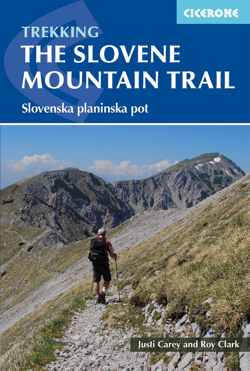
- Wandelgids The Slovene Mountain Trail | Cicerone
- Guidebook to trekking the Slovene Mountain Trail or Transverzala, 550km across Slovenia. Beginning at Maribor near the Austrian border to Ankaran on the Adriatic coast, the route is described as a series of 3 to 6-day treks through the region of Pohorje and the limestone mountains of the Karavanke and Kamnik-Savinja and Julian Alps. Leer más
Netherlands
2022
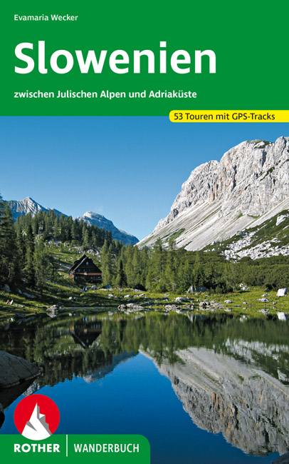
- Wandelgids Slowenien - Slovenie | Rother Bergverlag
- 52 Touren zwischen Julischen Alpen und Adriaküste. Mit GPS-Daten Rother Wanderbuch. 1. Auflage. Leer más
Netherlands
2014
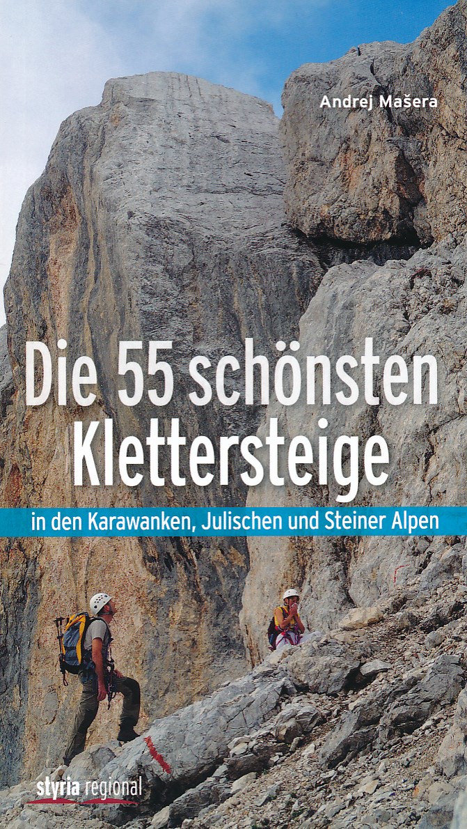
- Klimgids - Klettersteiggids Die 55 schönsten Klettersteige | Styria Verlag
- Die Julischen Alpen sind für viele Bergsteiger ein unbekanntes Gebiet. Dabei zählt dieses Gebirge neben den Dolomiten zu den faszinierendsten Klettersteigrevieren der Welt. Spektakuläre Anstiege durch mächtige Felswände; scharfe Grate und grandiose Gipfelerlebnisse bietet Andrej Ma eras kompakter Führer zu den schönsten Klettersteig- Routen... Leer más

Netherlands
- Diary of a Traveling Kid
- The Diary of a Traveling Kid is a travel diary with suggested itineraries from two American tweens, James and John, about their monthly international travel during their 3 years living in Germany It was previously only available as an eBook due to clickable links for 265 places but is now available as a paperback These military kids wrote all... Leer más
- Also available from:
- Bol.com, Belgium
Belgium
- Diary of a Traveling Kid
- The Diary of a Traveling Kid is a travel diary with suggested itineraries from two American tweens, James and John, about their monthly international travel during their 3 years living in Germany It was previously only available as an eBook due to clickable links for 265 places but is now available as a paperback These military kids wrote all... Leer más
Netherlands
2016
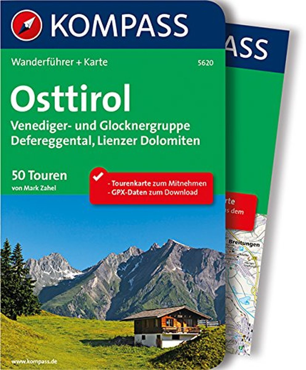
- WF5620 Oost-Tirol Kompass
- De Kompass wandelgids + kaart geeft een overzicht van alle wandelroutes in het gebied met nauwkeurige routeaanwijzingen en hoogteaanduidingen, De extra grote kaart, schaal 1:35 000, is ideaal om van te voren uw route uit te stippelen en om onderweg te gebruiken • naast de bekende bestemmingen, worden ook de minder bekende vermeld • openbaar... Leer más
- Also available from:
- Bol.com, Belgium
Belgium
2016
- WF5620 Oost-Tirol Kompass
- De Kompass wandelgids + kaart geeft een overzicht van alle wandelroutes in het gebied met nauwkeurige routeaanwijzingen en hoogteaanduidingen, De extra grote kaart, schaal 1:35 000, is ideaal om van te voren uw route uit te stippelen en om onderweg te gebruiken • naast de bekende bestemmingen, worden ook de minder bekende vermeld • openbaar... Leer más

Netherlands
- Wanderland Schweiz 02. Trans Swiss Trail
- Das Wanderland Schweiz besteht aus 6 nationalen Routen und 51 mehrtägigenHighlights. Die Routen basieren auf dem bestehenden Wanderwegnetz und integrierenteilweise bereits bestehende Angebote wie beispielsweise Via Alpina, Jura Höhenweg,Via Jacobi oder Rheintaler Höhenweg.Alle 9 Führer sind mit Farbfotos, Karten und Höhenprofilen farbig reich... Leer más
- Also available from:
- Bol.com, Belgium
Belgium
- Wanderland Schweiz 02. Trans Swiss Trail
- Das Wanderland Schweiz besteht aus 6 nationalen Routen und 51 mehrtägigenHighlights. Die Routen basieren auf dem bestehenden Wanderwegnetz und integrierenteilweise bereits bestehende Angebote wie beispielsweise Via Alpina, Jura Höhenweg,Via Jacobi oder Rheintaler Höhenweg.Alle 9 Führer sind mit Farbfotos, Karten und Höhenprofilen farbig reich... Leer más

Netherlands
- Over the Top & Back Again
- Book of the Year Bronze Award 2010 (travel essays category), ForeWord Magazine After hiking some of the world's great trails, Brandon Wilson was excited to hear about the Via Alpina, paths running across eight countries on the backbone of the Alps. Besides promising immersion into Alpine life and wilderness, it was the ultimate adventure. It... Leer más
- Also available from:
- Bol.com, Belgium
Belgium
- Over the Top & Back Again
- Book of the Year Bronze Award 2010 (travel essays category), ForeWord Magazine After hiking some of the world's great trails, Brandon Wilson was excited to hear about the Via Alpina, paths running across eight countries on the backbone of the Alps. Besides promising immersion into Alpine life and wilderness, it was the ultimate adventure. It... Leer más
Netherlands
2009
- Trekking in Slovenia
- A guidebook to trekking the Slovene High Level Route, crossing Slovenia from Austria to the Adriatic. The 500km route is described in a series of 3-6 day treks of all levels of difficulty, which can be completed as single sections or linked in a number of ways for longer holidays. From Maribor, close by the Austrian border in the north-east, to... Leer más
- Also available from:
- Bol.com, Belgium
Belgium
2009
- Trekking in Slovenia
- A guidebook to trekking the Slovene High Level Route, crossing Slovenia from Austria to the Adriatic. The 500km route is described in a series of 3-6 day treks of all levels of difficulty, which can be completed as single sections or linked in a number of ways for longer holidays. From Maribor, close by the Austrian border in the north-east, to... Leer más

Netherlands
- Un Jubilado En Los Alpes
- Se aproximaba el verano y era necesario decidirse. Entre unos pocos proyectos previstos hasta esos dias, que habian ido surgiendo en mi imaginacion durante el invierno, se fueron concretando a mitad de la primavera la posibilidad de caminar por el Himalaya, en Cachemira, recorrer algunos valles del Caucaso al norte de Georgia o atravesar los... Leer más
- Also available from:
- Bol.com, Belgium
Belgium
- Un Jubilado En Los Alpes
- Se aproximaba el verano y era necesario decidirse. Entre unos pocos proyectos previstos hasta esos dias, que habian ido surgiendo en mi imaginacion durante el invierno, se fueron concretando a mitad de la primavera la posibilidad de caminar por el Himalaya, en Cachemira, recorrer algunos valles del Caucaso al norte de Georgia o atravesar los... Leer más

United Kingdom
- Mountaineering in Slovenia: The Julian Alps and Kamnik and Savinja Alps
- This selection of over 80 tours, from relatively easy medium-altitude trips and walks to serious high-mountain tours and traverses has been written by one of the authorities of the Julian Alps - Tine Mihelic.The Julian Alps hold a central position in this guide, being the mightiest mountain range in Slovenia, nevertheless the author has added... Leer más
- Also available from:
- Bol.com, Netherlands
- Bol.com, Belgium
Netherlands
- wandelgids slovenie / Mountaineering in Slovenia
- Tine Mihelič is one of the best connoisseurs of the Slovene mountains. The volume introduces over 80 tours, from relatively easy medium-altitude trips and walks to serious high-mountain tours and traverses.The Julian Alps hold a central position in this guide, being the mightiest mountain range in Slovenia. Nevertheless the author has added... Leer más
Belgium
- wandelgids slovenie / Mountaineering in Slovenia
- Tine Mihelič is one of the best connoisseurs of the Slovene mountains. The volume introduces over 80 tours, from relatively easy medium-altitude trips and walks to serious high-mountain tours and traverses.The Julian Alps hold a central position in this guide, being the mightiest mountain range in Slovenia. Nevertheless the author has added... Leer más


Netherlands
- Hiking in Switzerland
- This is the official guidebook to the Swiss section of the Via Alpina (National Route 1), published by the Swiss Hiking Federation. The Via Alpina is a network of five long-distance hiking routes which cross eight Alpine countries from Trieste to Monaco - over 5,000 kilometres of hiking trails in total. On Swiss soil, National Route 1 Via... Leer más
- Also available from:
- Bol.com, Belgium
Belgium
- Hiking in Switzerland
- This is the official guidebook to the Swiss section of the Via Alpina (National Route 1), published by the Swiss Hiking Federation. The Via Alpina is a network of five long-distance hiking routes which cross eight Alpine countries from Trieste to Monaco - over 5,000 kilometres of hiking trails in total. On Swiss soil, National Route 1 Via... Leer más
Netherlands
- Rick Steves Eastern Europe, Ninth Edition
- You can count on Rick Steves to tell you what you really need to know when traveling in Eastern Europe-including the Czech Republic, Slovakia, Poland, Hungary, Slovenia, and Croatia. Explore Eastern Europe's top cities, from the romantic spires of Prague and the steamy thermal baths of Budapest to charming Krakow and laid-back Ljubljana. Enjoy... Leer más
- Also available from:
- Bol.com, Belgium
Belgium
- Rick Steves Eastern Europe, Ninth Edition
- You can count on Rick Steves to tell you what you really need to know when traveling in Eastern Europe-including the Czech Republic, Slovakia, Poland, Hungary, Slovenia, and Croatia. Explore Eastern Europe's top cities, from the romantic spires of Prague and the steamy thermal baths of Budapest to charming Krakow and laid-back Ljubljana. Enjoy... Leer más
Mapas

United Kingdom
- Goms - Aletsch
- Goms - Aletsch area of the Bernese Oberland at 1:50,000 in a series from Hallwag covering Switzerland’s popular hiking regions on light, waterproof and tear-resistant maps highlighting long-distance paths: the nine national routes plus special regional routes, as well as other local hiking trails.Cartography is similar to that used both in... Leer más

United Kingdom
- Styrian Winelands - Southwest Styria F&B WK411
- Styrian Winelands area south-eastern Austria presented at 1:50,000 in a series of contoured and GPS compatible outdoor leisure map from Freytag & Berndt with hiking and cycling routes, mountain huts, campsites and youth hostels, local bus stops, plus other tourist information. To see the list of currently available titles in this series please... Leer más

United Kingdom
- Lake Como K+F Outdoor Map 9
- Lake Como area at 1:50,000 on a double-sided, waterproof and tear-resistant, GPS compatible and contoured recreational maps from Kümmerly + Frey with both local and long-distance hiking and cycling trails, ski routes, sites for other outdoor pursuits, accommodation, bus stops, etc. Coverage includes the northern part of Lake Lugano and extends... Leer más

United Kingdom
- Heidiland - UNESCO Tectonic Arena Sardona 50K K+F Hiking Map No. 33
- Heidiland, including the Swiss Tectonic Arena Sardona – a UNESCO World Heritage Site, at 1:50,000 in Kümmerly + Frey’s hiking series of Switzerland printed on light, waterproof and tear-resistant plastic paper. Coverage includes Walensee, Flumserberg, Pizol, Weisstannental, Sarganserland and Taminatal. Hiking trails highlighted on the map... Leer más

United Kingdom
- Val Brembana - Valsassina - Le Grigne: Lecco - Bergamo 50K IGC Map No. 22
- Val Brembana - Valsassina - Le Grigne area including Lecco and Bergamo in a series contoured hiking maps at 1:50,000 with local trails, long-distance footpaths, mountain accommodation, etc. from the Turin based Istituto Geografico Centrale.Maps in this series have contours at 50m intervals, enhanced by shading and graphic relief. An overprint... Leer más
United Kingdom
- Adelboden - Lenk
- Adelboden - Lenk area of the western Bernese Oberland, from Gstaad to Frutigen and Leukerbad at 1:50,000 in a series from Hallwag covering Switzerland’s popular hiking regions on light, waterproof and tear-resistant maps highlighting long-distance paths: the nine national routes plus special regional routes, as well as other local hiking... Leer más

United Kingdom
- Cinque Terre - Golfo del Tigullio: La Spezia - Sestri Levante - Rapallo - Genoa 50K IGC Map No. 23
- Cinque Terre - Golfo del Tigullio area of the Italian Riviera from genoa to la Spezia including Sestri Levante and Rapallo in a series contoured hiking maps at 1:50,000 with local trails, long-distance footpaths, mountain accommodation, etc. from the Turin based Istituto Geografico Centrale.Maps in this series have contours at 50m intervals,... Leer más
United Kingdom
- Haslital: Grindelwald - Engelberg 50K Hallwag Outdoor Map No. 5
- Haslital area, from Grindelwald to Engelberg, at 1:50,000 in a series from Hallwag covering Switzerland’s popular hiking regions on light, waterproof and tear-resistant maps highlighting long-distance paths: the nine national routes plus special regional routes, as well as other local hiking trails.Cartography is similar to that used both in... Leer más

United Kingdom
- Julian Alps - Steiner Alps - Kamnik Alps Kompass 2801
- Julian and Kamnik (Steiner) Alps at 1:75,000 on a GPS compatible, double-sided, waterproof and tear-resistant map from Kompass in their series covering Northern Slovenia and the country’s coast, with hiking and cycling routes plus extensive tourist information. Cartography, different in style to that used in Kompass’s extensive hiking series... Leer más

United Kingdom
- Julian Alps West Kartografija Tourist Map
- The western part of Slovenia’s Julian Alps on a contoured and GPS compatible map at 1:75,000 from the Ljubljana-based Kartografija. Coverage includes the Triglav National Park, Kranjska Gora, Bovec, Bled, Jesenice, Tolmin, Škofja Loka, etc. On the reverse are bilingual English/Slovenian descriptions of the region’s best sights.Maps in this... Leer más
United Kingdom
- Montreux
- Montreux - Col du Pillon area at 1:50,000 in a series from Hallwag covering Switzerland’s popular hiking regions on light, waterproof and tear-resistant maps highlighting long-distance paths: the nine national routes plus special regional routes, as well as other local hiking trails.Cartography is similar to that used both in Hallwag’s hiking... Leer más

United Kingdom
- Julian Alps
- Julian Alps at 1:50,000 on a GPS compatible, contoured hiking map from Sidarta with on the reverse details of 41 mountain huts, each annotated with main trails leading to it; also climbing areas, natural heritage sites, etc. The map covers the whole of the Triglav National Park, extending outside its boundary north to Kranjska Gora and the... Leer más
- Also available from:
- Stanfords, United Kingdom

United Kingdom
- Julian Alps
- Julian Alps in a series of double-sided maps at 1:40,000 from Kartografija in Ljubljana, accompanied by a 71-page bilingual Slovenian/English colour booklet with 42 pages of descriptions of the region’s numerous places of interest, plus brief descriptions of 44 recommended hiking trails and of 9 cycling routes, from 8.5km to 48km long and... Leer más

United Kingdom
- Val Venosta / Vinschgau K+F Outdoor Map 1
- Val Venosta / Vinschgau area in the Dolomites at 1:50,000 in a series of waterproof and tear-resistant, GPS compatible and contoured recreational maps from Kümmerly + Frey with both local and long-distance hiking and cycling trails, ski routes, sites for other outdoor pursuits, accommodation, bus stops, etc. Coverage includes the Ortles/Ortler... Leer más

United Kingdom
- Jalovec and Mangart Slovenian Alpine Club 25k Map
- Jalovec and Mangart area of the Julian Alps at 1:25,000 in a series of contoured, GPS compatible recreational maps from Planinska zveza Slovenie - Slovenian Alpine Club, covering Slovenia’s popular hiking regions at 1:50,000 or 1:25,000. Maps in the Planinska zveza series titles have contours enhanced by shading and graphic relief in the... Leer más

United Kingdom
- Triglav - Kranjska Gora - Bohinj
- Triglav - Kranjska Gora - Bohinj area of the Triglav National Park in the Julian Alps at 1:25,000 on a double-sided, contoured and GPS compatible hiking map from Sidarta with details of 27 mountain huts, each annotated with main trails leading to it; also climbing areas, natural heritage sites, etc. The map is double-sided and covers the... Leer más