
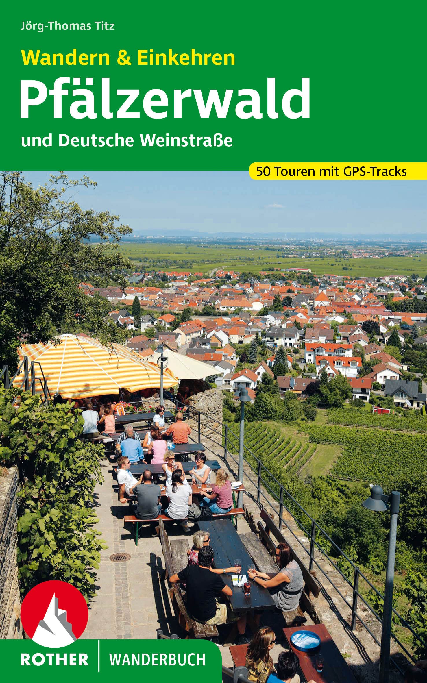
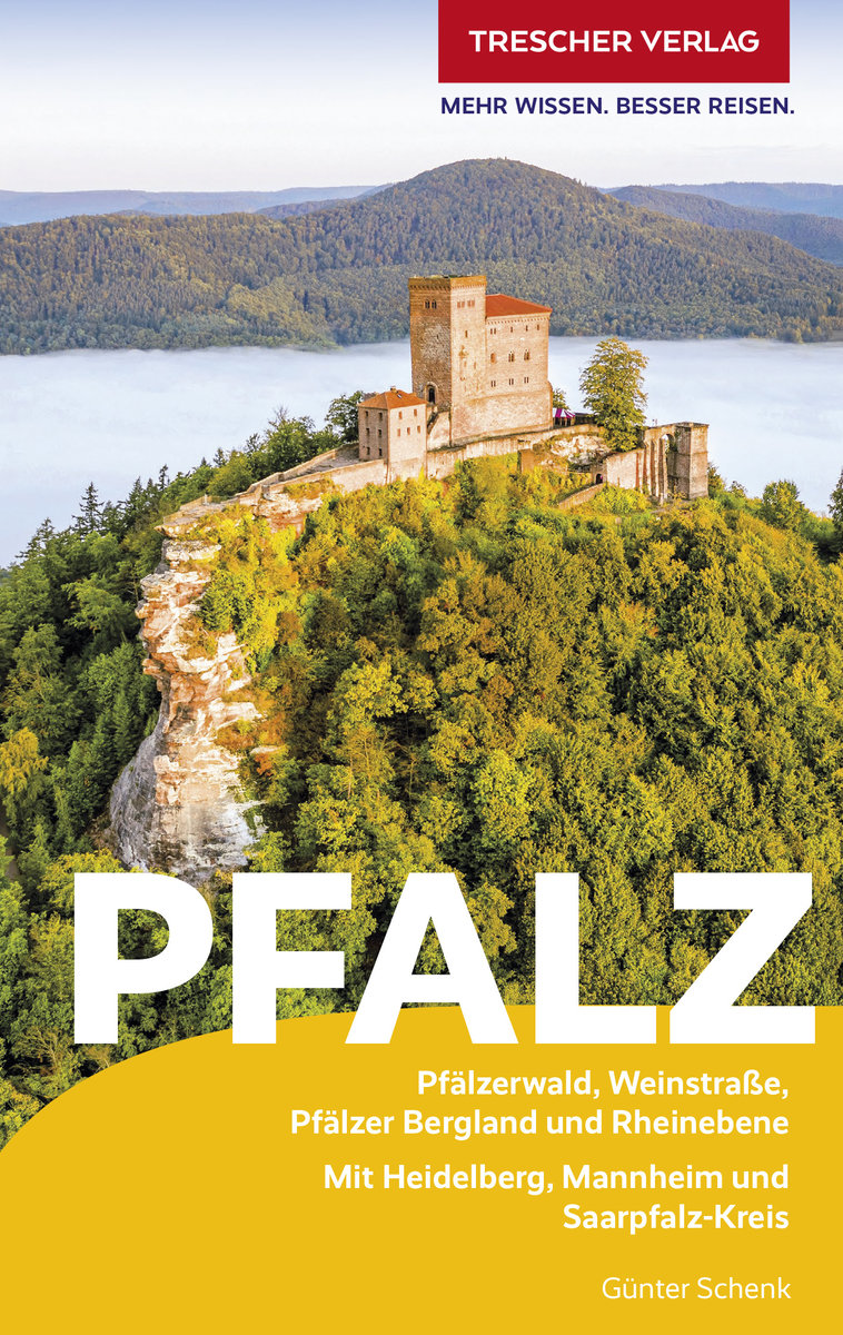
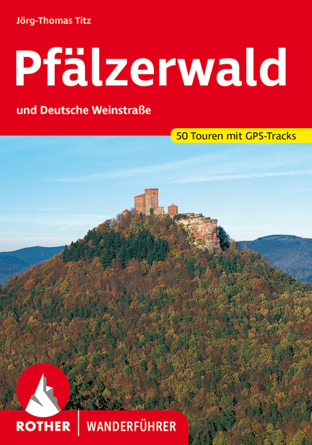
Pfälzerwald
Descripción
Forested low mountain area in Rheinland-Pfalz.
Senderos en región
Enlaces
Datos
Informes
Guías y mapas
Hospedaje
Organizaciones
Operadores turísticos
GPS
Otro
Libros

Stanfords
United Kingdom
United Kingdom
- DK Eyewitness Road Trips Germany
- With its scenic towns, romantic medieval cities and evocative landscapes, Germany is the perfect destination for a leisurely road trip. It`s yours to explore with Road Trips Germany, our redesigned and newly updated guide containing 24 drives across the country, from the winding Baltic Coast to the remote valleys of the Black Forest. Packed... Leer más

Stanfords
United Kingdom
United Kingdom
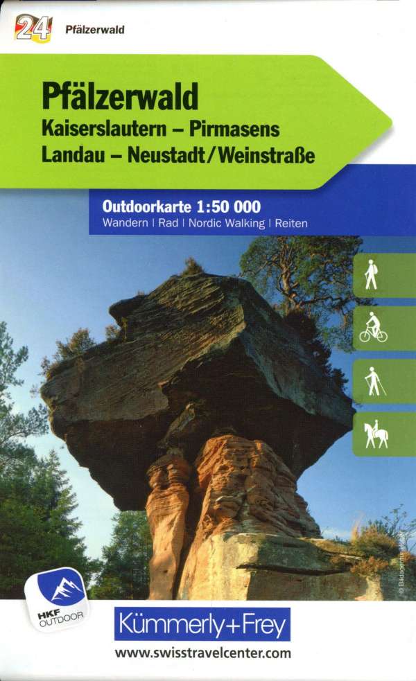
- Pfälzerwald (Palatinate Forest) 50K Kümmerly + Frey Map No. 24
- Pfälzerwald, the Palatinate Forest south of Kaiserslautern, at 1:35,000 from Kümmerly+Frey in a series GPS compatible, double-sided maps printed on durable, waterproof and tear-resistant plastic paper; contoured, with hiking and cycle routes, other recreational activities, etc. Maps in this series are at a scale of either 1:50,000 or 1:35,000.... Leer más

- Also available from:
- De Zwerver, Netherlands
De Zwerver
Netherlands
2021
Netherlands
2021
De Zwerver
Netherlands
2022
Netherlands
2022
Bol.com
Netherlands
Netherlands
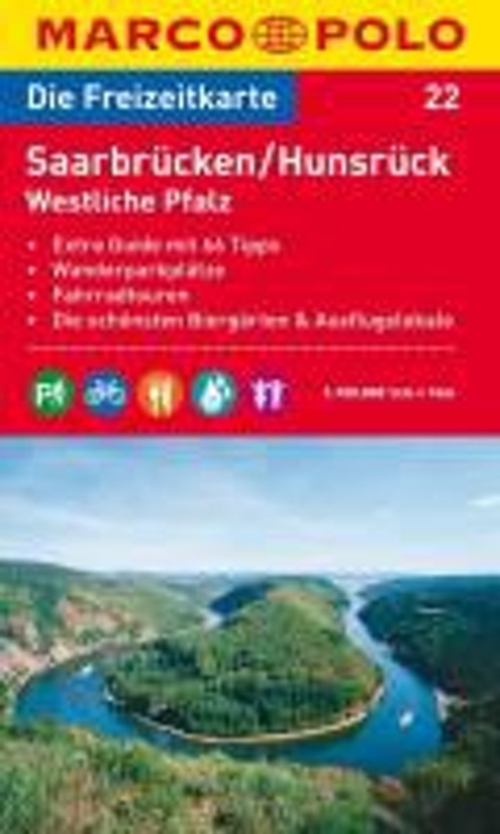
- Marco Polo FZK22 Saarbr cken - Hunsr ck - Palts West
- Een kaart en een reisgids in een handige omslag van stevig plastic, Op de kaart worden bezienswaardigheden aangegeven en heel kort beschreven met een afbeelding erbij, In de gids is de gedetailleerde informatie te vinden, Ook de op de kaart gemarkeerde wandel- en fietstochten worden in de gids beschreven, Door de gebruikte kleuren is alle... Leer más
- Also available from:
- Bol.com, Belgium
Bol.com
Belgium
Belgium
- Marco Polo FZK22 Saarbr cken - Hunsr ck - Palts West
- Een kaart en een reisgids in een handige omslag van stevig plastic, Op de kaart worden bezienswaardigheden aangegeven en heel kort beschreven met een afbeelding erbij, In de gids is de gedetailleerde informatie te vinden, Ook de op de kaart gemarkeerde wandel- en fietstochten worden in de gids beschreven, Door de gebruikte kleuren is alle... Leer más
Bol.com
Netherlands
Netherlands
- Wanderungen zu Sagenst tten in der Pfalz
- Von Teufeln und Tempelrittern, Kaisern, K nigen und Knappen - die Pfalz h lt einiges an Sagen bereit. 45 abwechslungsreiche Wanderungen auf den Spuren jahrhundertealter berlieferungen bieten nicht nur Wanderspa , sondern auch detaillierte Informationen ber sagenumwobene Orte und Sehensw rdigkeiten wie den Trifels bei Annweiler, die Hexenklamm... Leer más
- Also available from:
- Bol.com, Belgium
Bol.com
Belgium
Belgium
- Wanderungen zu Sagenst tten in der Pfalz
- Von Teufeln und Tempelrittern, Kaisern, K nigen und Knappen - die Pfalz h lt einiges an Sagen bereit. 45 abwechslungsreiche Wanderungen auf den Spuren jahrhundertealter berlieferungen bieten nicht nur Wanderspa , sondern auch detaillierte Informationen ber sagenumwobene Orte und Sehensw rdigkeiten wie den Trifels bei Annweiler, die Hexenklamm... Leer más
De Zwerver
Netherlands
2023
Netherlands
2023
Bol.com
Netherlands
Netherlands
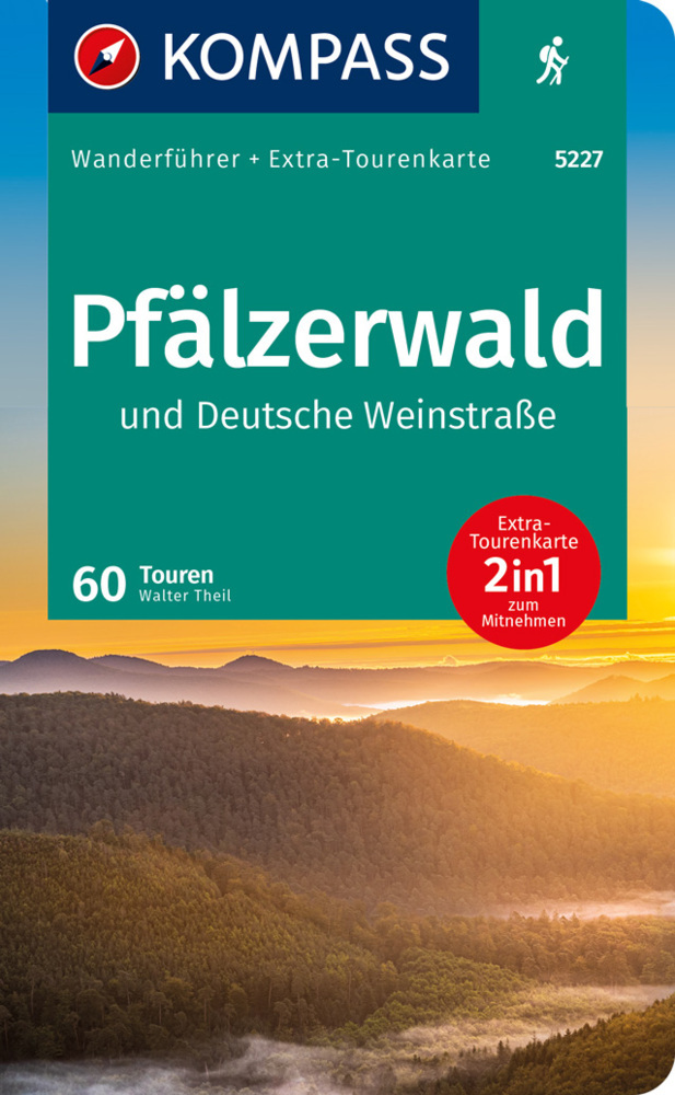
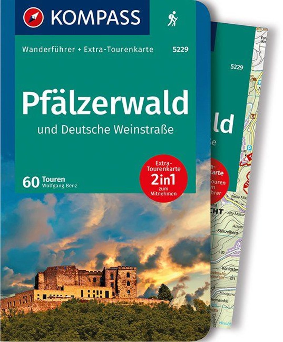
- WF5229 Pfälzerwald und Deutsche Weinstrasse Kompass
- . Praktische Tourenkarte im Maßstab 1:35000 zum Mitnehmen mit allen eingezeichneten Touren aus dem Wanderführer.. Icons im Farbbalken informieren über Schwierigkeitsgrad, Einkehrmöglichkeit, Kinderfreundlichkeit usw.. Informationen zu Ausgangspunkt, Charakter, Einkehr und Karte sind gleich zu Beginn jeder Tour übersichtlich zusammengefasst..... Leer más
- Also available from:
- Bol.com, Belgium
Bol.com
Belgium
Belgium
- WF5229 Pfälzerwald und Deutsche Weinstrasse Kompass
- . Praktische Tourenkarte im Maßstab 1:35000 zum Mitnehmen mit allen eingezeichneten Touren aus dem Wanderführer.. Icons im Farbbalken informieren über Schwierigkeitsgrad, Einkehrmöglichkeit, Kinderfreundlichkeit usw.. Informationen zu Ausgangspunkt, Charakter, Einkehr und Karte sind gleich zu Beginn jeder Tour übersichtlich zusammengefasst..... Leer más
De Zwerver
Netherlands
2012
Netherlands
2012
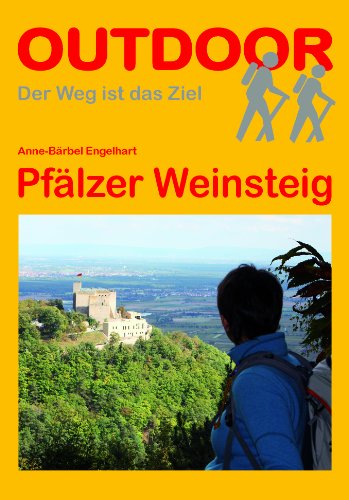
- Wandelgids Pfalz - Pfälzer Weinsteig | Conrad Stein Verlag
- Im April 2011 wurden die Pfälzer Prädikatswege eingeweiht. Einer davon ist der Weinsteig. Er zieht sich am Westrand des Pfälzerwaldes, am Haardtrand, durch die Wälder, die Weinberge und die pittoresken Ortschaften. Die Veränderung von im Norden sanft hügeligen zu im Süden steiler werdenden Taleinschnitten spürt der Wanderer unter den Sohlen und... Leer más
De Zwerver
Netherlands
2019
Netherlands
2019
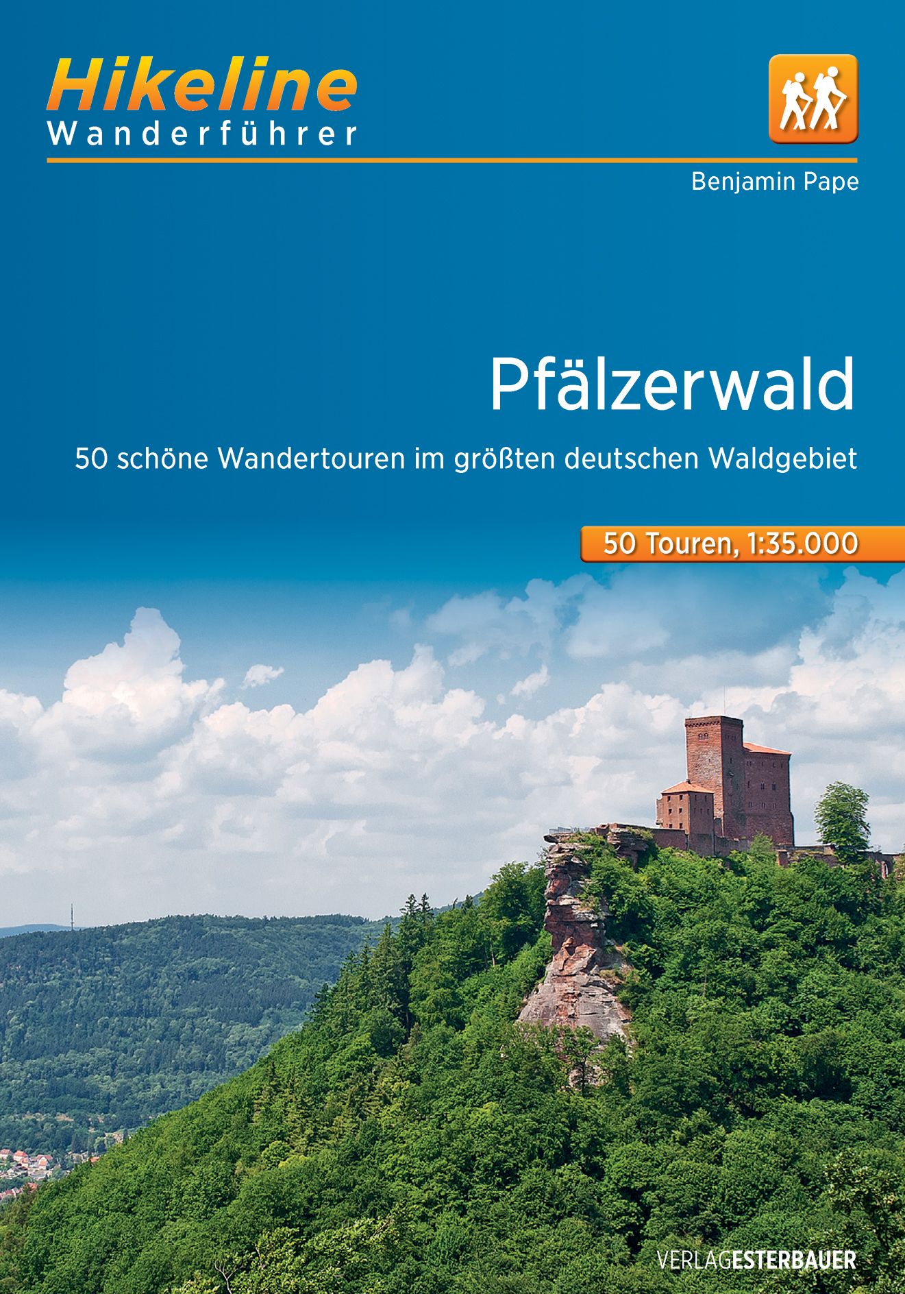
- Wandelgids Hikeline Pfälzerwald - Pfalz | Esterbauer
- 50 schönste Wandertouren im größten deutschen Waldgebiet 1:35. 000, 50 Touren, 554 km Hikeline Wanderführer. 2. Auflage. Leer más
De Zwerver
Netherlands
2021
Netherlands
2021
- Wandelgids Pfälzerwald | Rother Bergverlag
- Uitstekende wandelgids met een groot aantal dagtochten in dal en hooggebergte. Met praktische informatie en beperkt kaartmateriaal! Wandelingen in verschillende zwaarte weergegeven in rood/blauw/zwart. ",Fröhlich Pfalz, Gott erhalt's", ist ein gern genutzter Trinkspruch in der "Toskana Deutschlands", wie die Pfalz wegen... Leer más
Bol.com
Netherlands
Netherlands
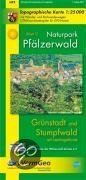
- Naturpark Pfälzerwald Blatt 2 Grünstadt und Stumfwald mit Leiningerland
- Mit Haupt- und regionalen Wanderwegen des Pfälzerwald-Vereins; ohne örtliche Wanderwege.Auf wasserfestem Spezialpapier Leer más
- Also available from:
- Bol.com, Belgium
Bol.com
Belgium
Belgium
- Naturpark Pfälzerwald Blatt 2 Grünstadt und Stumfwald mit Leiningerland
- Mit Haupt- und regionalen Wanderwegen des Pfälzerwald-Vereins; ohne örtliche Wanderwege.Auf wasserfestem Spezialpapier Leer más
De Zwerver
Netherlands
2017
Netherlands
2017
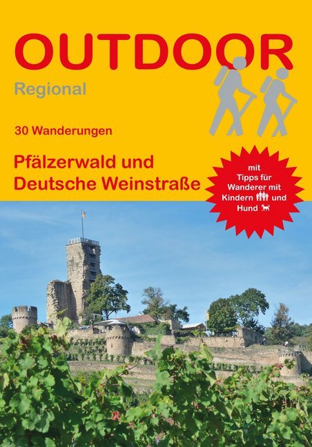
- Wandelgids Pfälzerwald und Deutsche Weinstraße (30 Wanderungen) | Conrad Stein Verlag
- Travel & Languages Travel (special interest) Guides (general) International Books Leer más
Más libros…

Mapas

Stanfords
United Kingdom
United Kingdom
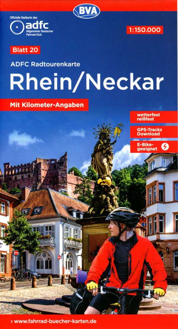
- Rhineland-Palatinate - Saarland Marco Polo Regional Map 10
- German states of Rhineland-Palatinate (Rheinland-Pfalz) and Saarland on an indexed road map at 1:200,000 in the MairDumont’s Marco Polo series, prominently highlighting interesting locations and protected areas. A 95-page index booklet includes city centre street plans plus enlargements at 1:100,000 showing in greater detail the environs and... Leer más

Stanfords
United Kingdom
United Kingdom
- Frankfurt a.M. - Wiesbaden - Darmstadt Cycling Map
- Frankfurt a.M. - Wiesbaden – Darmstadt on a waterproof, tear-resistant, GPS compatible cycling map at 1:75,000 from the ADFC (Allgemeiner Deutscher Fahrrad-Club - the official German cycling federation), in a series of maps with extensive overprint for long-distance and local cycling routes. GPS waypoints, route profiles, details of online... Leer más

Stanfords
United Kingdom
United Kingdom
- La Strada del Vino / South Tyrol Wine Route Kompass 685
- La Strada del Vino/Südtiroler Weinstraße at 1:25,000 on a durable, waterproof and tear-resistant map from Kompass in their series of detailed maps of the Dolomites.CARTOGRAPHY: Kompass maps of the Dolomites at 1:25,000 have contours at 25-m intervals. An overprint shows local and long-distance footpaths, including all the high level routes... Leer más

Stanfords
United Kingdom
United Kingdom
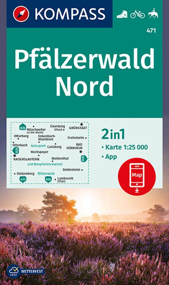
- Pfalzerwald Mountainbike Park
- Pfalzerwald Mountainbike Park on a GPS compatible, topographic recreational map at 1:50,000 from the survey organization of Rhineland-Palatinate with cartography identical to the standard topographic survey of Germany but with additional extensive overprint highlighting local and long-distance hiking trails, cycle routes, sightseeing touring... Leer más

Stanfords
United Kingdom
United Kingdom
- Saar-Hunsrück Nature Park East
- The eastern part of the Saar-Hunsrück Nature Park on a GPS compatible, topographic recreational map at 1:50,000 from the survey organizations of Rhineland-Palatinate and Saarland with cartography identical to the standard topographic survey of Germany but with additional extensive overprint highlighting local and long-distance hiking trails,... Leer más

Stanfords
United Kingdom
United Kingdom
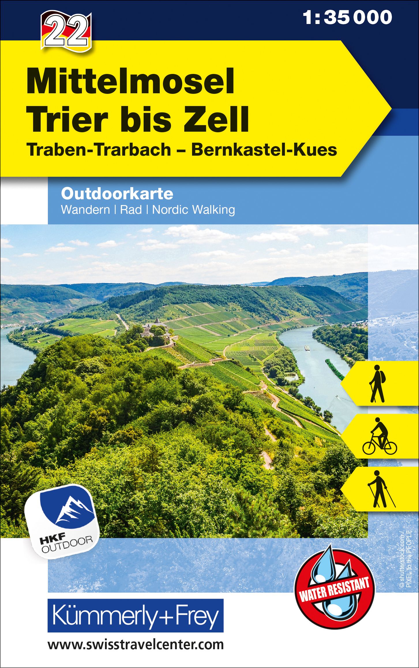
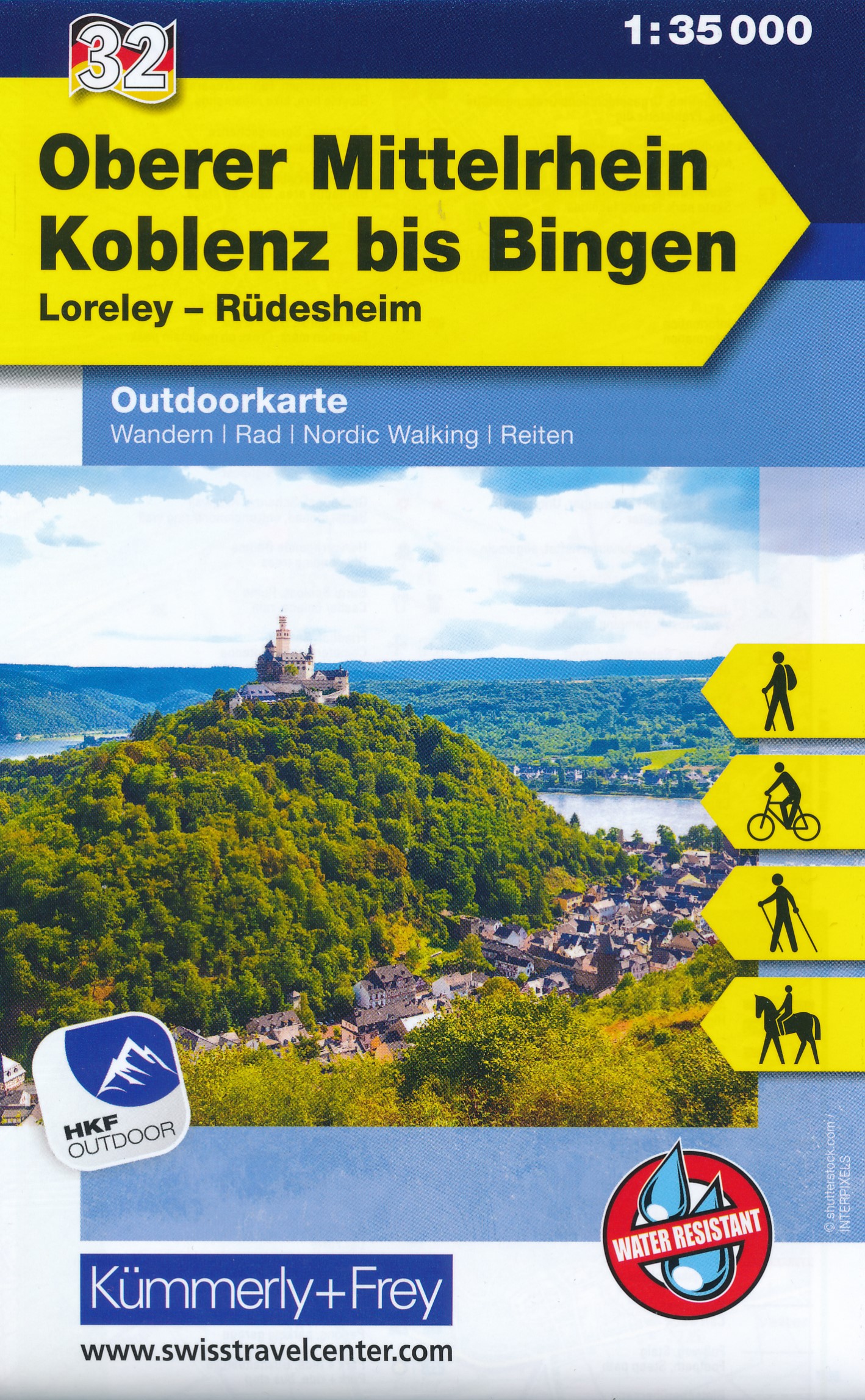
- Upper Central Rhine - Koblenz to Bingen - Loreley - Rüdesheim K+F Outdoor Map 32
- Maps in this series are at a scale of either 1:50,000 or 1:35,000. Contour interval varies from 10m to 40m according to the area and, where appropriate, the maps have finely drawn additional graphic relief to provide an excellent representation of the terrain, with plenty of names of peaks, valleys, etc, national parks or other protected areas,... Leer más
- Also available from:
- The Book Depository, United Kingdom
- De Zwerver, Netherlands

De Zwerver
Netherlands
Netherlands

- Also available from:
- De Zwerver, Netherlands
Stanfords
United Kingdom
United Kingdom
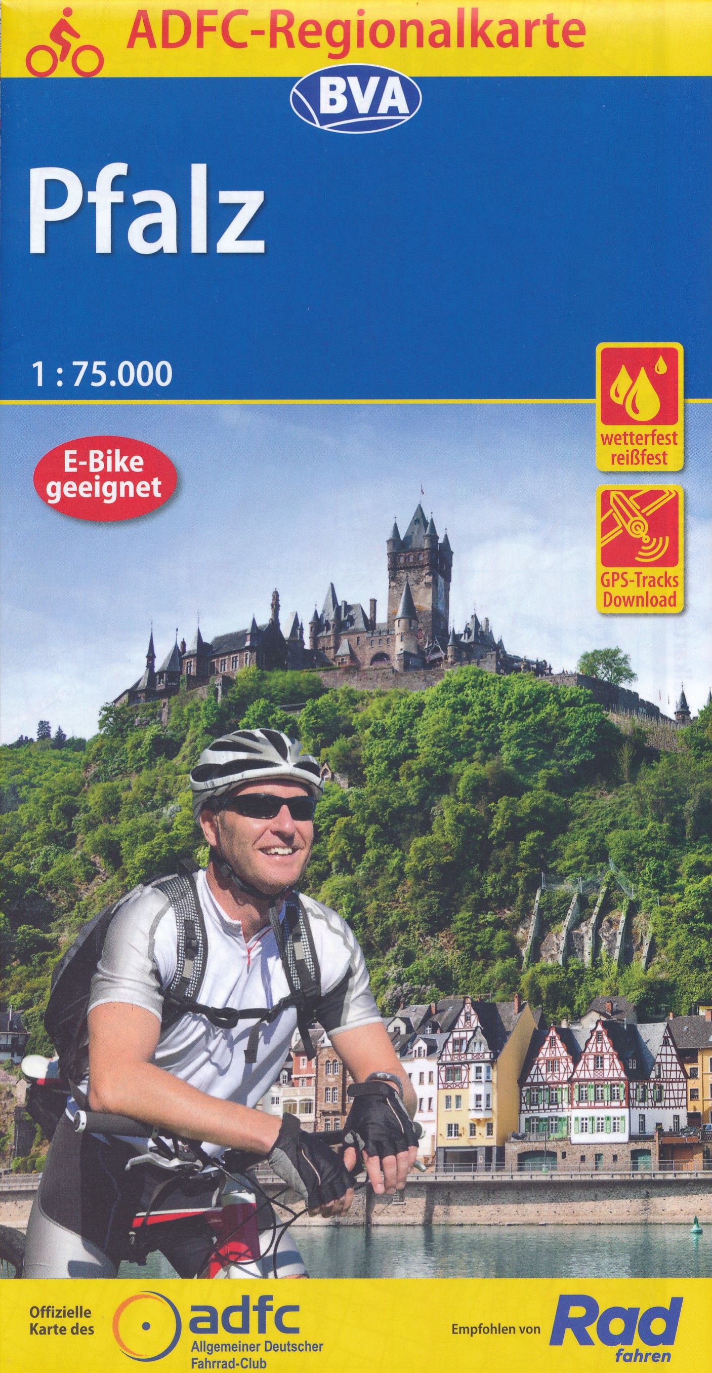
- Palatinate Cycling Map
- Palatinate on a waterproof, tear-resistant, GPS compatible cycling map at 1:50,000 from the ADFC (Allgemeiner Deutscher Fahrrad-Club - the official German cycling federation), in a series of maps with extensive overprint for long-distance and local cycling routes. GPS waypoints, route profiles, details of online links for information about... Leer más
- Also available from:
- De Zwerver, Netherlands
De Zwerver
Netherlands
Netherlands

Stanfords
United Kingdom
United Kingdom
- Eifel - Moselle Cycling Map 14
- Alta Via`s topographical cycling maps emphasize car-free cycling routes or the so-called Voies Vertes (Green Routes), a cycling network that runs through Belgium and Luxembourg. All LF and Ravel cycle routes are included, supplemented with old railways and towpaths that have been transformed into bike paths. The map also lists all youth... Leer más
- Also available from:
- De Zwerver, Netherlands

De Zwerver
Netherlands
Netherlands
- Fietskaart 14 Eifel & Moesel | Alta Via
- Alta Via`s topographical cycling maps emphasize car-free cycling routes or the so-called Voies Vertes (Green Routes), a cycling network that runs through Belgium and Luxembourg. All LF and Ravel cycle routes are included, supplemented with old railways and towpaths that have been transformed into bike paths. The map also lists all youth... Leer más