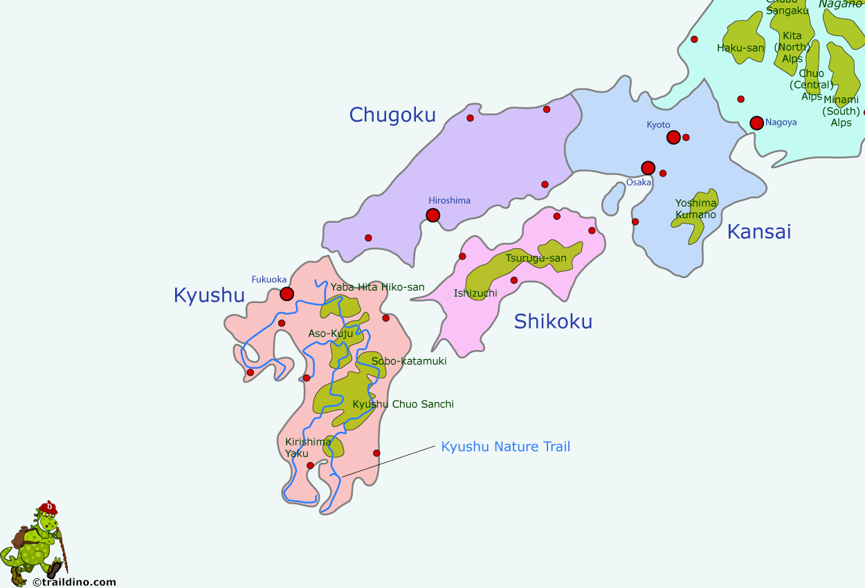
Kyushu Nature Trail
Descripción
- Name Kyushu Nature Trail
- Distancia de sendero 2,587 km, 1,607 millas
- Duración en días 130 días
- Clasificación Traildino MW, Caminata moderada, sendero de mochileros
- Clasificación Travesía de refugios T1, Caminata
2587 km
九州自然歩道
Prefectures of Fukuoka, Saga, Nagasaki, Kumamoto, Oita, Miyazaki and Kagoshima
Kyushu is the southernmost island of Japan. Volcanism is manifest here: Mt Aso in the centre of the island is an active volcano. The subtropical climate makes the island suitable for rice, tea, tobacco and silk. The island is prone to typhoons and heavy rainfall.
The Kyushu Nature Trail ventures into the mountains, passes hot springs, and explores several national parks.
Select some tracks
☐九州自然歩道 (Kyushu Nature Trail), 31km


